Medium airport · Australia
Marree AirportYMRE
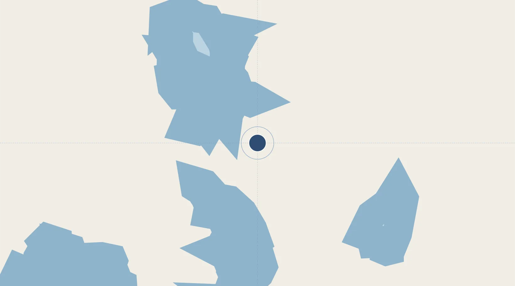
-29.6633°, 138.0650°
4,422 ft
Longest runway
1
Runways
50 ft
Elevation
Runway & Layout

Radio Frequencies
CTAF
127.8 MHz
Lake Eyre Broadcast area
Melbourne Centre
121.2 MHz
Runways · 1
| Runway | Dimensions | Surface | True heading | Lit |
|---|---|---|---|---|
| 04/22 | 4,422 × 52ft | Asphalt | — | — |
Airport Specifications
IATA code
RRE
ICAO code
YMRE
Airport class
Medium airport
Scheduled service
No
Runway surface
Asphalt
Location
Nearby Logistics Neighbours
Airports
- 1Leigh Creek Airport110 km
- 2Olympic Dam Airport146 km
- 3William Creek Aerodrome187 km
- 4Prominent Hill Airport246 km
- 5Port Augusta Airport318 km
Cities
- 1Andrews441 km
- 2Lucky Bay460 km
- 3Clare466 km
- 4Port Kenny505 km
- 5Greenock540 km
Ports
- 1Port Bonython374 km
- 2Whyalla378 km
- 3Port Pirie391 km
- 4Wallaroo477 km
- 5Thevenard505 km
DatabookThe Record of Consolidated Knowledge
Australia beyond logistics?