Medium airport · Australia
William Creek AerodromeYWMC
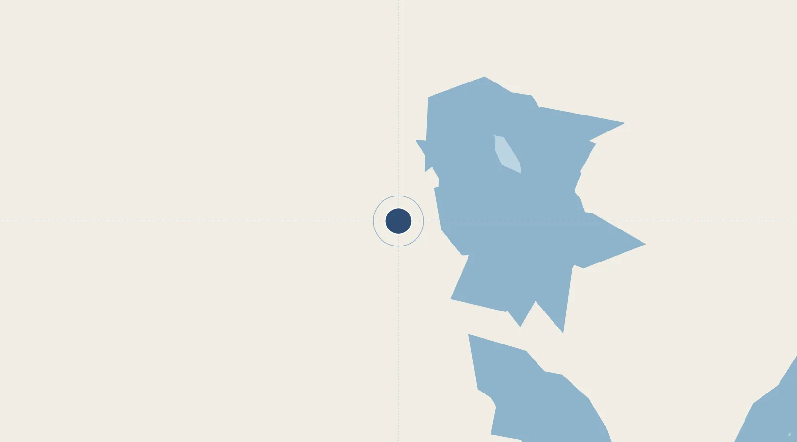
-28.9059°, 136.3406°
4,265 ft
Longest runway
2
Runways
253 ft
Elevation
Runway & Layout

Radio Frequencies
CTAF
127.8 MHz
Lake Eyre Broadcast area
Melbourne Centre
120.7 MHz
Centre Frequency from Circuit area
Runways · 2
| Runway | Dimensions | Surface | True heading | Lit |
|---|---|---|---|---|
| 11/29 | 4,265 × 25ft | Bitumen | — | ✓ |
| 03/21 | 2,624 × 50ft | Gravel | — | — |
Airport Specifications
ICAO code
YWMC
Airport class
Medium airport
Scheduled service
No
Runway surface
Bitumen
Served city
William Creek
Location
Nearby Logistics Neighbours
Airports
- 1Prominent Hill Airport120 km
- 2Coober Pedy Airport158 km
- 3Olympic Dam Airport183 km
- 4Marree Airport187 km
- 5Leigh Creek Airport276 km
Cities
- 1Port Kenny499 km
- 2Lucky Bay534 km
- 3Andrews566 km
- 4Clare588 km
- 5Greenock665 km
Ports
- 1Thevenard445 km
- 2Whyalla474 km
- 3Port Bonython477 km
- 4Port Pirie502 km
- 5Wallaroo572 km
DatabookThe Record of Consolidated Knowledge
Australia beyond logistics?