Transport Functions
Rail
Road
Hub Profile
Place type
Populated place
Region
New South Wales
Population
648
Time zone
Australia/Sydney
Elevation
249 m
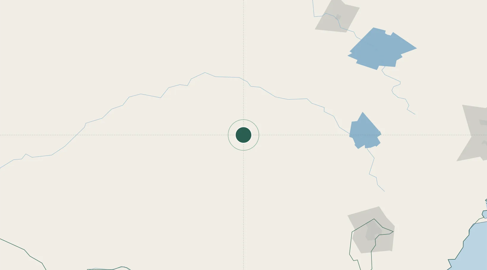
Location
Nearby Logistics Neighbours
Cities
- 1Ungarie41 km
- 2Beckom52 km
- 3Ardlethan56 km
- 4Tullibigeal74 km
- 5Barellan75 km
Ports
- 1Batemans Bay331 km
- 2Port Kembla343 km
- 3Jervis Bay351 km
- 4Sydney365 km
- 5Botany Bay367 km
Airports
- 1West Wyalong Airport6 km
- 2Temora Airport59 km
- 3Forbes Airport90 km
- 4Young Airport99 km
- 5Cootamundra Airport106 km
Trade Zones
DatabookThe Record of Consolidated Knowledge
Australia beyond logistics?