Transport Functions
Multimodal
Hub Profile
Place type
Populated place
Region
Queensland
Time zone
Australia/Brisbane
Elevation
373 m
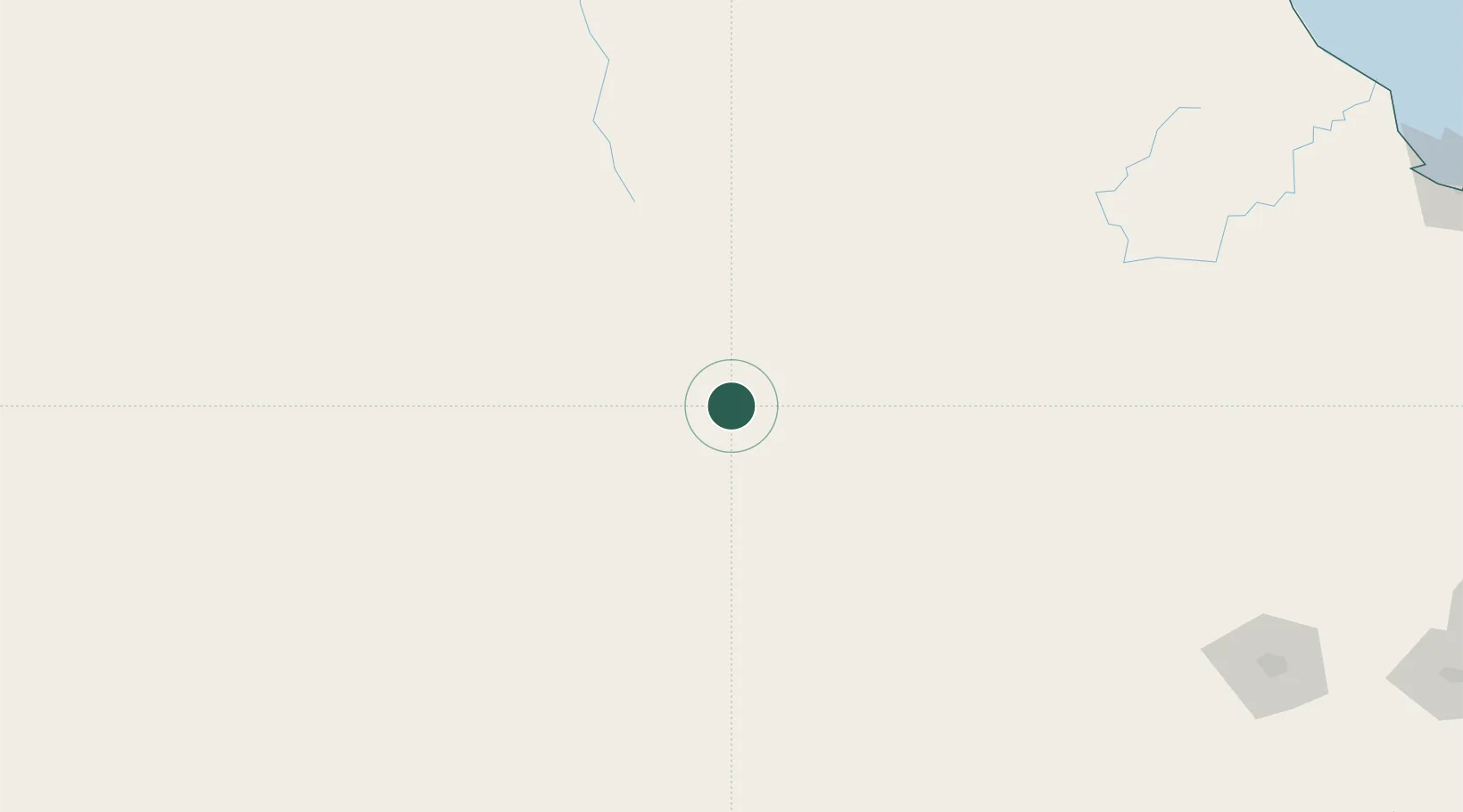
Location
Nearby Logistics Neighbours
Cities
- 1Condamine106 km
- 2Columboola109 km
- 3Clontarf263 km
- 4Toowoomba City296 km
- 5Brooweena306 km
Airports
- 1Roma Airport60 km
- 2Chinchilla Airport139 km
- 3St George Airport206 km
- 4Thangool Airport239 km
- 5Kingaroy Airport253 km
Trade Zones
DatabookThe Record of Consolidated Knowledge
Australia beyond logistics?