Transport Functions
Rail
Road
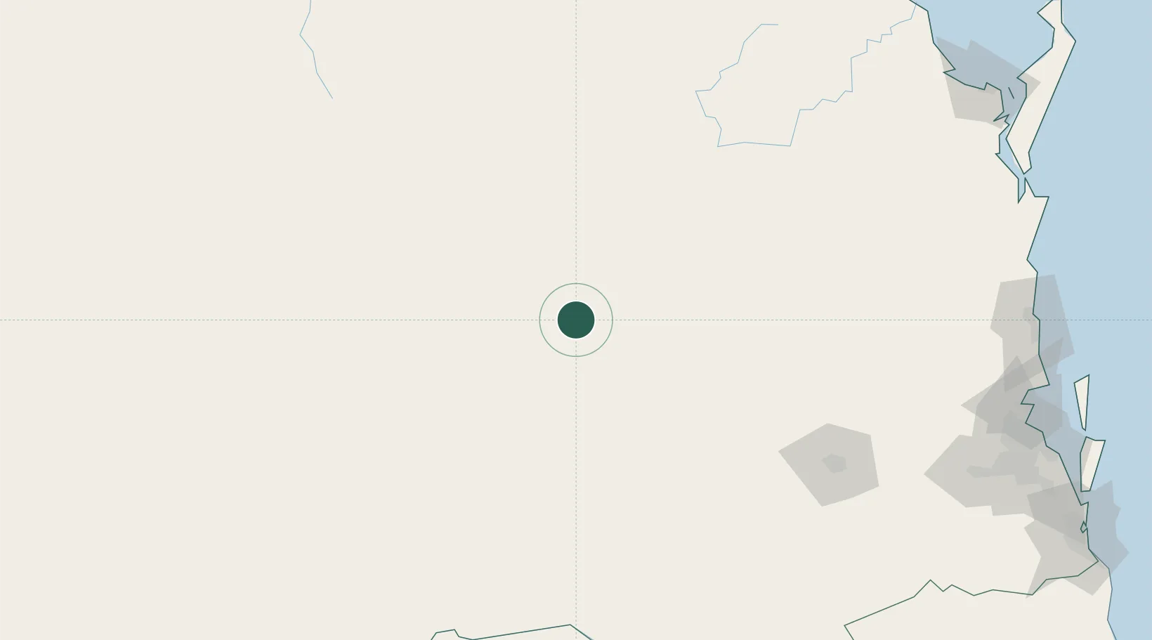
Hub Profile
Place type
Populated place
Region
Queensland
Population
69
Time zone
Australia/Brisbane
Elevation
323 m
Location
Nearby Logistics Neighbours
Cities
- 1Condamine34 km
- 2Wattle Park109 km
- 3Clontarf167 km
- 4Toowoomba City188 km
- 5Helidon203 km
Airports
- 1Chinchilla Airport30 km
- 2Kingaroy Airport150 km
- 3Roma Airport156 km
- 4Oakey Army Aviation Centre161 km
- 5Toowoomba Wellcamp Airport174 km
Trade Zones
DatabookThe Record of Consolidated Knowledge
Australia beyond logistics?