Medium airport · Australia

Tibooburra AirportYTIB
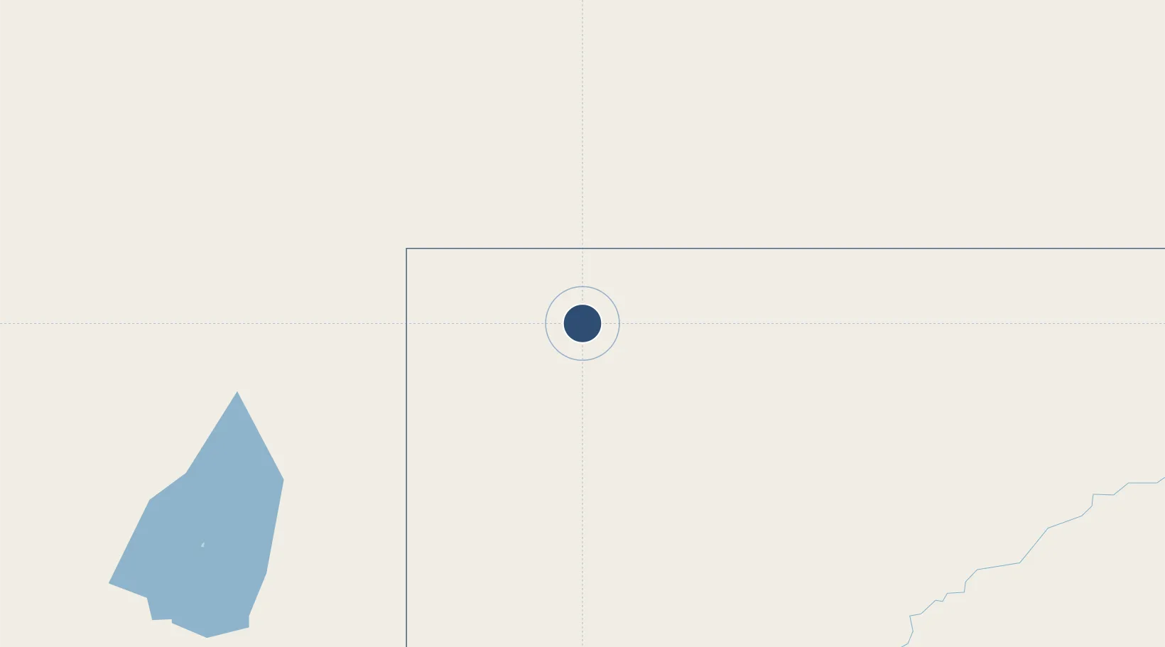
-29.4511°, 142.0580°
5,026 ft
Longest runway
2
Runways
584 ft
Elevation

Runway & Layout

Tibooburra Airport runway & taxiway layout
Runway & taxiway layout — OpenStreetMap (ODbL) / OurAirports

Radio Frequencies

CTAF
126.7 MHz
FSS
126.5 MHz
MELBOURNE CNTR
OurAirports

Navaids

TIB NDB Tibooburra 200 kHz
OurAirports

Runways · 2

RunwayDimensions SurfaceTrue headingLit
15/33 5,026 × 98ft Gravel 161°
02/20 3,202 × 60ft Asphalt 030°
OurAirports

Airport Specifications

IATA code
TYB
OurAirports
ICAO code
YTIB
OurAirports
Airport class
Medium airport
OurAirports
Scheduled service
No
OurAirports
Runway surface
Gravel
OurAirports

Location

Location of YTIB
Natural Earth 10m (public domain) · New South Wales · YTIB · -29.45, 142.06GoogleOSMYandex

Nearby Logistics Neighbours

Airports
  1. 1Thargomindah Airport236 km
  2. 2Broken Hill Airport289 km
  3. 3Leigh Creek Airport372 km
  4. 4Bourke Airport382 km
  5. 5Cunnamulla Airport382 km
Nearest neighbours — logibook spatial index (haversine) over the source coordinates
Cities
  1. 1Ivanhoe441 km
  2. 2Coolabah479 km
  3. 3Irymple534 km
  4. 4Moorook561 km
  5. 5Andrews564 km
Nearest neighbours — logibook spatial index (haversine) over the source coordinates
Ports
  1. 1Port Pirie565 km
  2. 2Port Bonython569 km
  3. 3Whyalla583 km
  4. 4Wallaroo652 km
  5. 5Ardrossan678 km
Nearest neighbours — logibook spatial index (haversine) over the source coordinates
Trade Zones
  1. 1Latrobe Valley Economic Growth Zone1055 km
  2. 2Paga Hill Estate Special Economic Zone2283 km
  3. 3Ihu Special Economic Zone2422 km
  4. 4Western Province Special Economic Zone2514 km
  5. 5Morobe Agricultural Special Economic Zone2565 km
Nearest neighbours — logibook spatial index (haversine) over the source coordinates
DatabookThe Record of Consolidated Knowledge
Australia beyond logistics?
Browse databook

All Sources

AirportsOurAirports
Public domain
Portsthe NGA World Port Index
Public domain (US gov)
LocationsUN/LOCODE
UN/LOCODE — free
Trade Zonesthe World Bank SEZ database
CC BY 4.0
Trade ZonesOpen Zone Map
CC BY
InfrastructureOpenStreetMap
ODbL 1.0
← Australia airports