Large airport · Malaysia
Sultan Abdul Aziz Shah International AirportWMSA
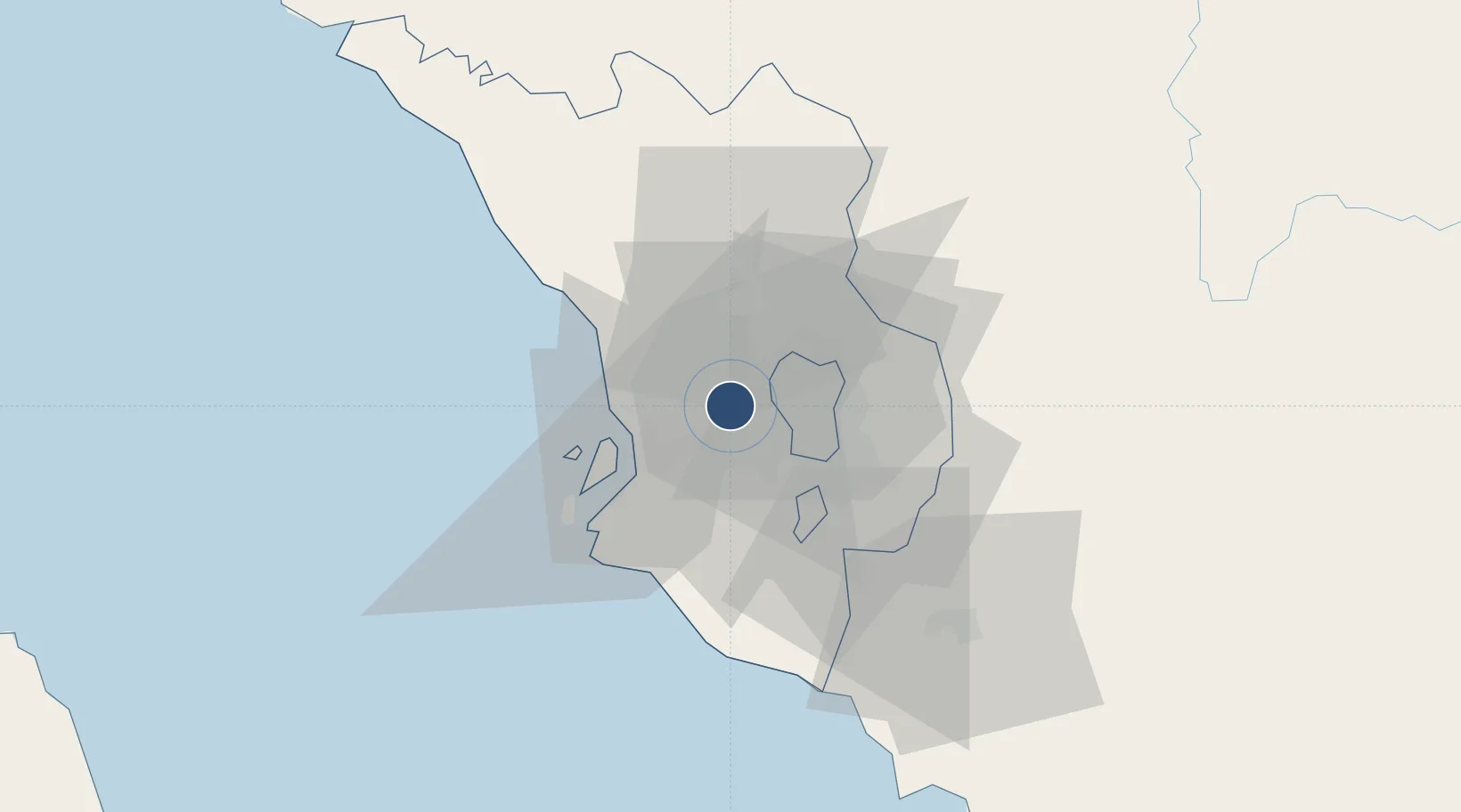
3.1306°, 101.5490°
12,401 ft
Longest runway
1
Runways
90 ft
Elevation
Runway & Layout

Radio Frequencies
ATIS
127.6 MHz
SUBANG INFO
TWR
118.2 MHz
SUBANG TWR
GND
121.9 MHz
SUBANG GND
CLD
126 MHz
LUMPUR DELIVERY
A/D
125.1 MHz
LUMPUR DIRECTOR
A/G
347 MHz
LUMPUR RDO
ACC
132.8 MHz
LUMPUR APP/CON
INFO
126.1 MHz
LUMPUR
OPS
125.2 MHz
AIR FORCE GND
Navaids
CE NDB Caledonian 205 kHz
KL NDB Kayell 255 kHz
NM NDB Kuala Lumpur 338 kHz
SM NDB Kuala Lumpur 355 kHz
VBA VOR-DME Batu Arang 114.70 MHz
Runways · 1
| Runway | Dimensions | Surface | True heading | Lit |
|---|---|---|---|---|
| 15/33 | 12,401 × 148ft | Asphalt | 150° | ✓ |
Airport Specifications
IATA code
SZB
ICAO code
WMSA
Airport class
Large airport
Scheduled service
Yes
Runway surface
Asphalt
Served city
Subang
Location
Nearby Logistics Neighbours
Airports
- 1Kuala Lumpur International Airport46 km
- 2Malacca International Airport124 km
- 3Pulau Pangkor Airport166 km
- 4Sultan Azlan Shah Airport168 km
- 5Pinang Kampai Airport170 km
Cities
- 1Subang Jaya8 km
- 2Sungai Buluh9 km
- 3Sungai Way9 km
- 4Damansara9 km
- 5Bukit Raja13 km
Ports
- 1Port Klang22 km
- 2Port Dickson71 km
- 3Teluk Anson115 km
- 4Pelabuhan Sungai Udang118 km
- 5Melaka130 km
Trade Zones
DatabookThe Record of Consolidated Knowledge
Malaysia beyond logistics?