Medium airport · Malaysia
Kuantan AirportWMKD
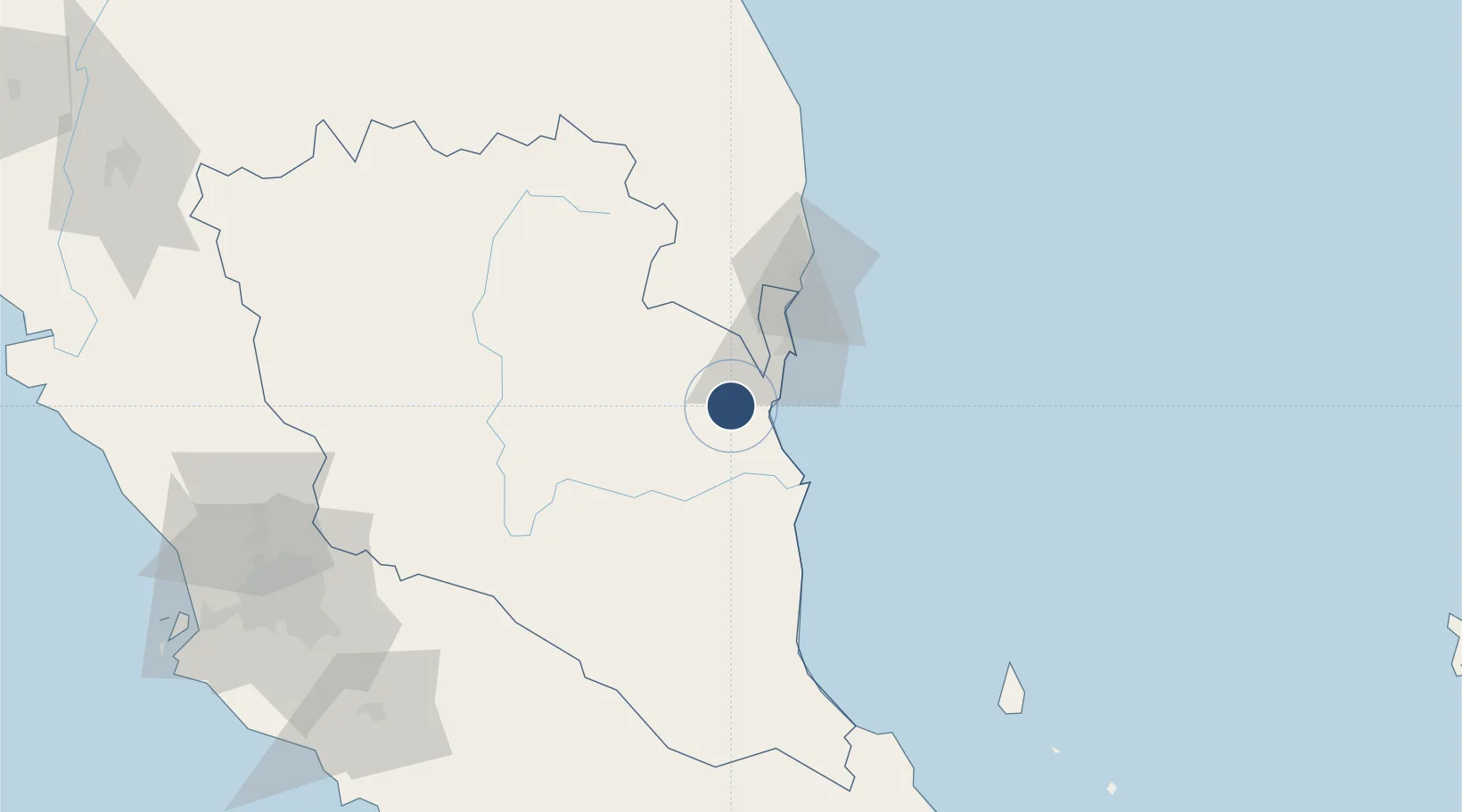
3.7754°, 103.2090°
9,200 ft
Longest runway
1
Runways
58 ft
Elevation
Runway & Layout

Radio Frequencies
ATIS
127.5 MHz
TWR
118.1 MHz
GND
28.96 MHz
APP
118.1 MHz
Navaids
VKN VORTAC Kuantan 113.70 MHz
Runways · 1
| Runway | Dimensions | Surface | True heading | Lit |
|---|---|---|---|---|
| 18/36 | 9,200 × 150ft | Asphalt | 183° | ✓ |
Airport Specifications
IATA code
KUA
ICAO code
WMKD
Airport class
Medium airport
Scheduled service
Yes
Runway surface
Asphalt
Served city
Kuantan
Location
Nearby Logistics Neighbours
Airports
- 1Kerteh Airport88 km
- 2Tioman Airport150 km
- 3Sultan Mahmud Airport179 km
- 4Kluang Airport193 km
- 5Sultan Abdul Aziz Shah International Airport198 km
Cities
- 1Kuantan (Tanjong Gelang)29 km
- 2Gebeng31 km
- 3Tanjung Gelang33 km
- 4Cukai58 km
- 5Nenasi76 km
Ports
- 1Kuantan New Port33 km
- 2Kemaman Harbor60 km
- 3Kuala Trengganu175 km
- 4Muar205 km
- 5Melaka205 km
Trade Zones
- 1Kuantan Port Free Zone, Pahang33 km
- 2Kenyir Lake Free Zone, Terengganu158 km
- 3Senawang Industrial Park183 km
- 4Galla Industrial Park186 km
- 5Pedas Halal Park (Miel)187 km
DatabookThe Record of Consolidated Knowledge
Malaysia beyond logistics?