Transport Functions
Port
Road
Hub Profile
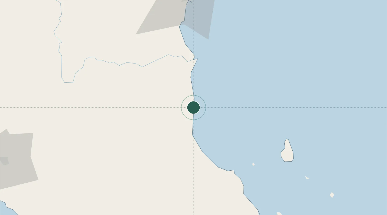
Place type
Populated place
Region
Pahang
Population
627
Time zone
Asia/Kuala_Lumpur
Elevation
13 m
Location
Nearby Logistics Neighbours
Cities
- 1Kuantan (Tanjong Gelang)91 km
- 2Gebeng93 km
- 3Tanjung Gelang95 km
- 4Segamat100 km
- 5Kluang123 km
Ports
- 1Kuantan New Port93 km
- 2Kemaman Harbor124 km
- 3Muar155 km
- 4Melaka169 km
- 5Pelabuhan Sungai Udang176 km
Airports
- 1Kuantan Airport76 km
- 2Tioman Airport86 km
- 3Kluang Airport123 km
- 4Kerteh Airport156 km
- 5Malacca International Airport164 km
DatabookThe Record of Consolidated Knowledge
Malaysia beyond logistics?