Free Trade Zone · Malaysia
Kuantan Port Free Zone, Pahang Under Development
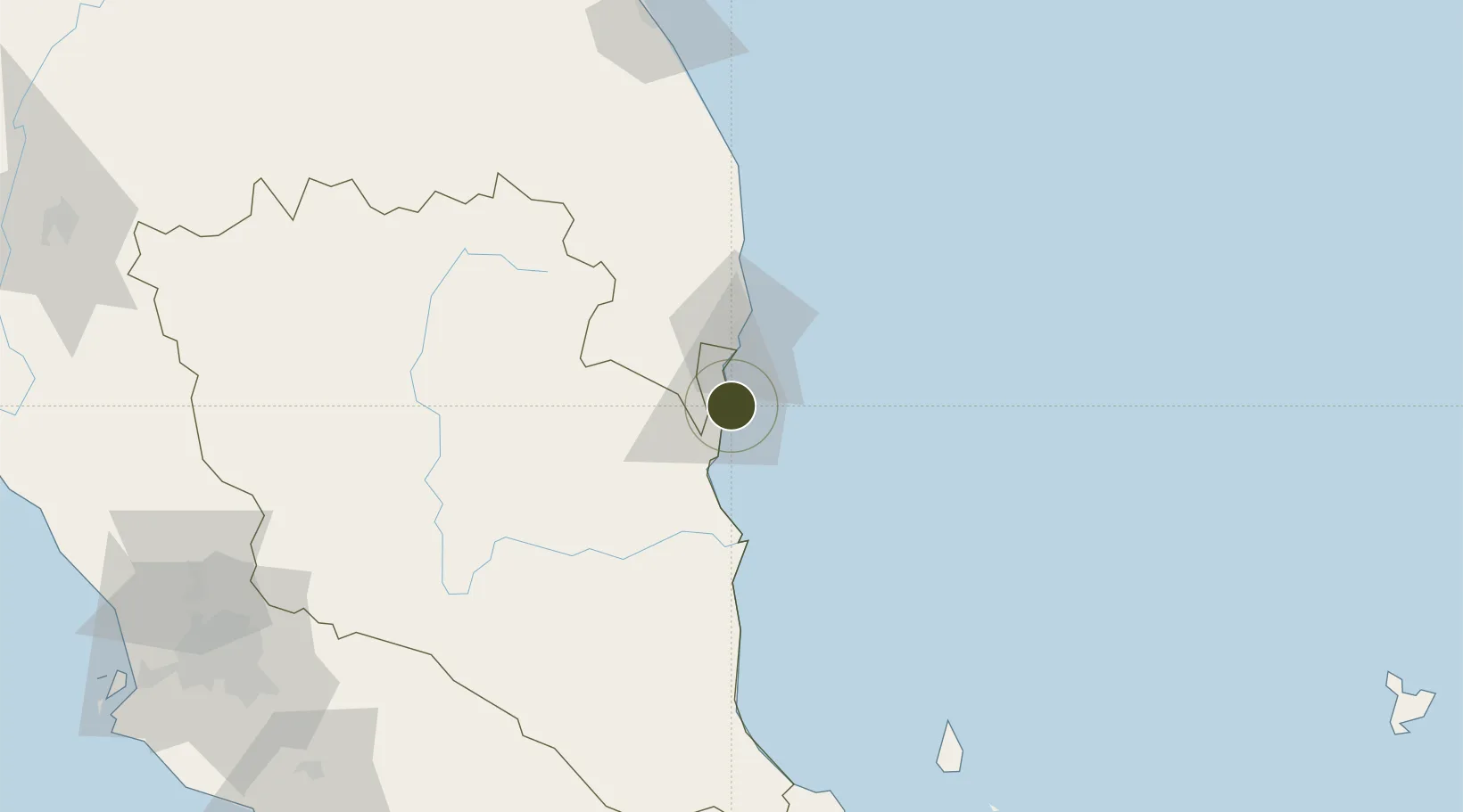
3.9767°, 103.4242°
605 ha
Zone area
1.5 km
Nearest port
32.7 km
Nearest airport
Gateway access
Zone profile
Zone type
Free Trade Zone
Region
Pahang
Status
Under Development
Management
Public
Operator
Kuantan Port Authority
Legal framework
Free Zones Act of 1990 (Act 438)
Location
Nearby Logistics Neighbours
Ports
- 1Kuantan New Port2 km
- 2Kemaman Harbor31 km
- 3Kuala Trengganu156 km
- 4Belida Marine Terminal190 km
- 5Muar234 km
Airports
- 1Kuantan Airport33 km
- 2Kerteh Airport62 km
- 3Tioman Airport153 km
- 4Sultan Mahmud Airport160 km
- 5Kluang Airport216 km
Cities
- 1Tanjung Gelang1 km
- 2Gebeng1 km
- 3Kuantan (Tanjong Gelang)4 km
- 4Cukai30 km
- 5Kertih60 km
Trade Zones
- 1Kenyir Lake Free Zone, Terengganu147 km
- 2Senawang Industrial Park216 km
- 3Galla Industrial Park219 km
- 4Pedas Halal Park (Miel)219 km
- 5Malaysian Vision Valley 2.0221 km
DatabookThe Record of Consolidated Knowledge
Malaysia beyond logistics?