Medium airport · Malaysia

Sultan Mahmud AirportWMKN
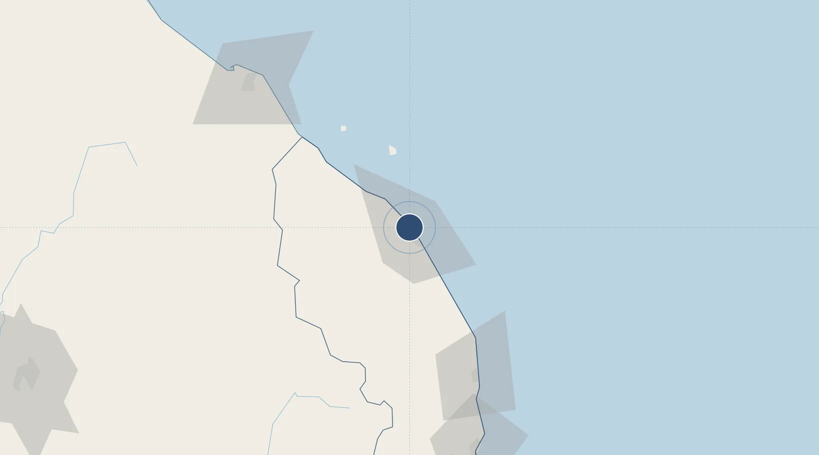
5.3826°, 103.1030°
11,417 ft
Longest runway
1
Runways
21 ft
Elevation

Runway & Layout

Sultan Mahmud Airport runway & taxiway layout
Runway & taxiway layout — OpenStreetMap (ODbL) / OurAirports

Radio Frequencies

TWR
123.6 MHz
TERENGGANU TWR
GND
121.6 MHz
TERENGGANU GND
OurAirports

Navaids

TU NDB Kuala Terengganu 312 kHz
VKT VOR-DME Kuala Terengganu 115.40 MHz
OurAirports

Runways · 1

RunwayDimensions SurfaceTrue headingLit
04/22 11,417 × 150ft Asphalt 045°
OurAirports

Airport Specifications

IATA code
TGG
OurAirports
ICAO code
WMKN
OurAirports
Airport class
Medium airport
OurAirports
Scheduled service
Yes
OurAirports
Runway surface
Asphalt
OurAirports
Served city
Kuala Terengganu
OurAirports

Location

Location of WMKN
Natural Earth 10m (public domain) · Terengganu · WMKN · 5.38, 103.10GoogleOSMYandex

Nearby Logistics Neighbours

Airports
  1. 1Kerteh Airport101 km
  2. 2Sultan Ismail Petra Airport125 km
  3. 3Kuantan Airport179 km
  4. 4Narathiwat Airport197 km
  5. 5Betong International Airport221 km
Nearest neighbours — logibook spatial index (haversine) over the source coordinates
Cities
  1. 1Kuala Dungun76 km
  2. 2Bahau77 km
  3. 3Kuala Besut78 km
  4. 4Jertih78 km
  5. 5Kuala Krai103 km
Nearest neighbours — logibook spatial index (haversine) over the source coordinates
Ports
  1. 1Kuala Trengganu5 km
  2. 2Kemaman Harbor132 km
  3. 3Kuantan New Port162 km
  4. 4Tapis Marine Terminal A212 km
  5. 5Belida Marine Terminal264 km
Nearest neighbours — logibook spatial index (haversine) over the source coordinates
Trade Zones
  1. 1Kenyir Lake Free Zone, Terengganu45 km
  2. 2East Coast Economic Region126 km
  3. 3Rantau Panjang Free Commercial Zone144 km
  4. 4Duty Free Area At Pengkalan Kubor147 km
  5. 5Pengkalan Kubor Free Zone147 km
Nearest neighbours — logibook spatial index (haversine) over the source coordinates
DatabookThe Record of Consolidated Knowledge
Malaysia beyond logistics?
Browse databook

All Sources

AirportsOurAirports
Public domain
Portsthe NGA World Port Index
Public domain (US gov)
LocationsUN/LOCODE
UN/LOCODE — free
Trade Zonesthe World Bank SEZ database
CC BY 4.0
Trade ZonesOpen Zone Map
CC BY
InfrastructureOpenStreetMap
ODbL 1.0
← Malaysia airports