Medium airport · Malaysia
Kerteh AirportWMKE
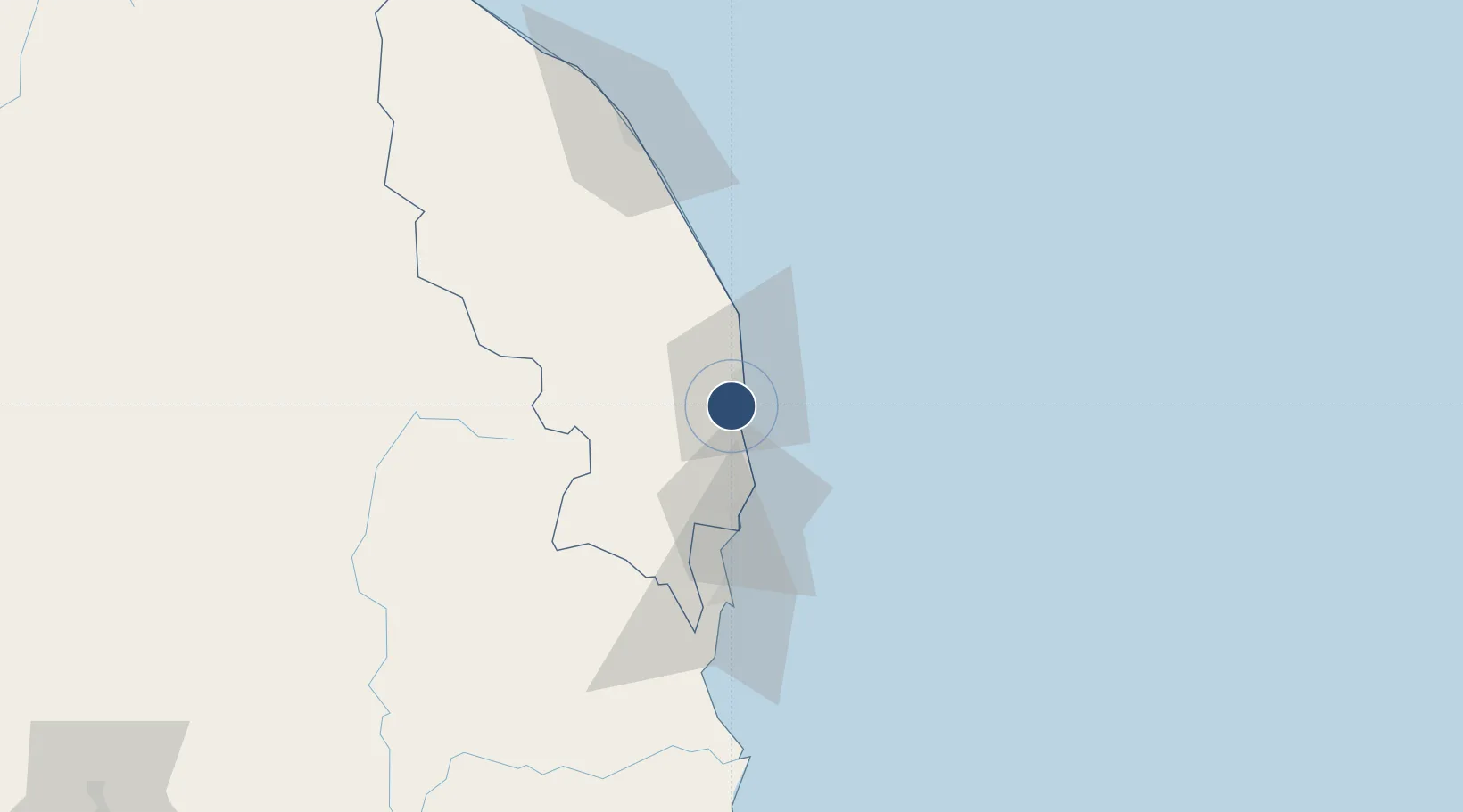
4.5372°, 103.4270°
4,446 ft
Longest runway
1
Runways
18 ft
Elevation
Runway & Layout

Radio Frequencies
TWR
123.3 MHz
GND
121.8 MHz
Navaids
VKE VOR-DME Kerteh 117.10 MHz
Runways · 1
| Runway | Dimensions | Surface | True heading | Lit |
|---|---|---|---|---|
| 16/34 | 4,446 × 98ft | Asphalt | 163° | ✓ |
Airport Specifications
IATA code
KTE
ICAO code
WMKE
Airport class
Medium airport
Scheduled service
No
Runway surface
Asphalt
Served city
Kerteh
Location
Nearby Logistics Neighbours
Airports
- 1Kuantan Airport88 km
- 2Sultan Mahmud Airport101 km
- 3Tioman Airport208 km
- 4Sultan Ismail Petra Airport220 km
- 5Sultan Azlan Shah Airport259 km
Cities
- 1Kertih3 km
- 2Kerteh3 km
- 3Kuala Dungun27 km
- 4Cukai32 km
- 5Tanjung Gelang62 km
Ports
- 1Kemaman Harbor32 km
- 2Kuantan New Port63 km
- 3Kuala Trengganu96 km
- 4Belida Marine Terminal194 km
- 5Tapis Marine Terminal A207 km
Trade Zones
DatabookThe Record of Consolidated Knowledge
Malaysia beyond logistics?