Transport Functions
Multimodal
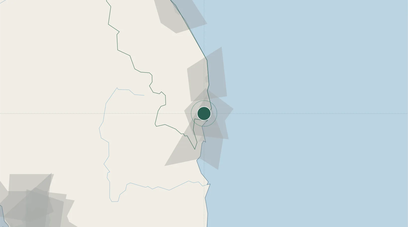
Hub Profile
Place type
Populated place
Region
Terengganu
Population
82,425
Time zone
Asia/Kuala_Lumpur
Elevation
12 m
Location
Nearby Logistics Neighbours
Cities
- 1Tanjung Gelang30 km
- 2Kertih30 km
- 3Kerteh30 km
- 4Gebeng32 km
- 5Kuantan (Tanjong Gelang)33 km
Ports
- 1Kemaman Harbor6 km
- 2Kuantan New Port32 km
- 3Kuala Trengganu126 km
- 4Belida Marine Terminal191 km
- 5Tapis Marine Terminal A226 km
Airports
- 1Kerteh Airport32 km
- 2Kuantan Airport58 km
- 3Sultan Mahmud Airport131 km
- 4Tioman Airport179 km
- 5Sultan Abdul Aziz Shah International Airport242 km
Trade Zones
DatabookThe Record of Consolidated Knowledge
Malaysia beyond logistics?