Channel & Berth Profile
Pilotage, Tugs & Services
Pilotage availableYES
Potable waterYES
Facilities & Capabilities
Container—
Ro-Ro—
Liquid bulk—
Dry bulk—
Oil terminal—
Break bulk—
Dry dockNO
RepairsNO
Bunkering—
Rail link—
Dangerous cargo—
ISPS security—
Harbour Specifications
Harbour size
Very Small
Harbour type
River (Basins)
Shelter
Good
Water body
South China Sea; North Pacific Ocean
Tidal range
4 m
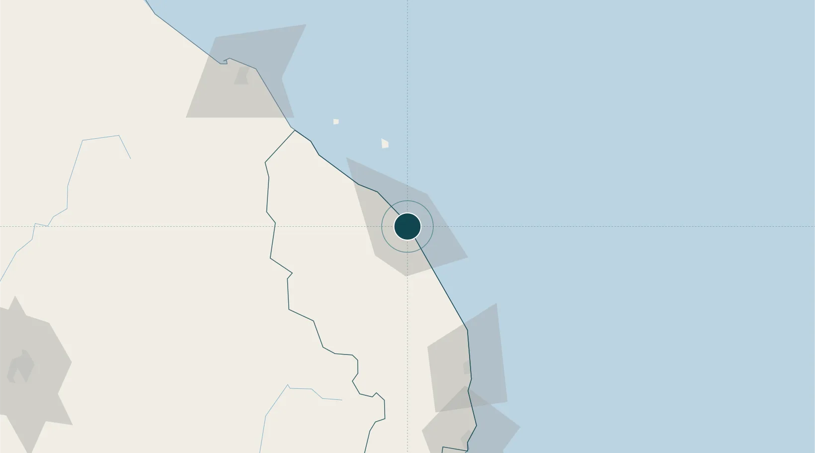
Location
Nearby Logistics Neighbours
Ports
- 1Kemaman Harbor128 km
- 2Kuantan New Port157 km
- 3Tapis Marine Terminal A209 km
- 4Belida Marine Terminal260 km
- 5Pattani270 km
Cities
- 1Kuala Dungun71 km
- 2Bahau81 km
- 3Kuala Besut83 km
- 4Jertih83 km
- 5Kertih99 km
Airports
- 1Sultan Mahmud Airport5 km
- 2Kerteh Airport96 km
- 3Sultan Ismail Petra Airport130 km
- 4Kuantan Airport175 km
- 5Narathiwat Airport201 km
Trade Zones
DatabookThe Record of Consolidated Knowledge
Malaysia beyond logistics?