Diversified Zone · Malaysia

Pedas Halal Park (Miel) Active
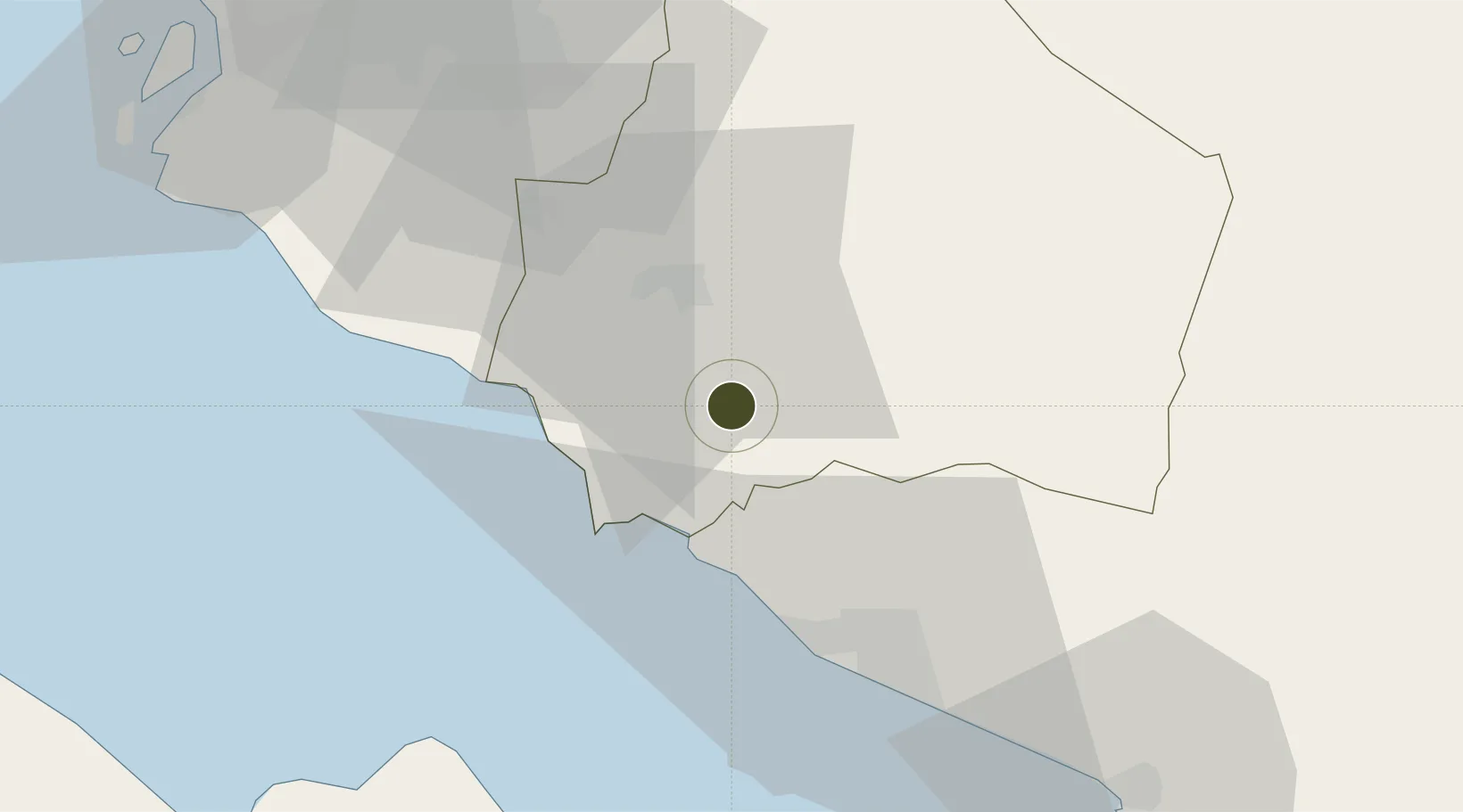
2.5641°, 102.0446°
22 ha
Zone area
29.2 km
Nearest port
40.5 km
Nearest airport

Gateway access

Nearest neighbours — logibook spatial index (haversine) over the source coordinates

Zone profile

Zone type
Diversified Zone
Open Zone Map
Region
Negeri Sembilan
Open Zone Map
Status
Active
Open Zone Map
Management
Public-Private Partnership
Open Zone Map
Operator
MIDF Property
Open Zone Map
Legal framework
Promotion of Investments Act 1986 and the Income Tax Act 1967.
Open Zone Map

Location

Location of ozm-2757
Natural Earth 10m (public domain) · Negeri Sembilan · ozm-2757 · 2.56, 102.04GoogleOSMYandex

Nearby Logistics Neighbours

Ports
  1. 1Port Dickson29 km
  2. 2Pelabuhan Sungai Udang36 km
  3. 3Melaka47 km
  4. 4Muar81 km
  5. 5Port Klang87 km
Nearest neighbours — logibook spatial index (haversine) over the source coordinates
Airports
  1. 1Malacca International Airport41 km
  2. 2Kuala Lumpur International Airport42 km
  3. 3Sultan Abdul Aziz Shah International Airport84 km
  4. 4Pinang Kampai Airport126 km
  5. 5Kluang Airport152 km
Nearest neighbours — logibook spatial index (haversine) over the source coordinates
Cities
  1. 1Rembau7 km
  2. 2Senawang17 km
  3. 3Seremban21 km
  4. 4Sendayan Village25 km
  5. 5Alor Gajah28 km
Nearest neighbours — logibook spatial index (haversine) over the source coordinates
Trade Zones
  1. 1Senawang Industrial Park15 km
  2. 2Galla Industrial Park25 km
  3. 3Sendayan Tech Valley27 km
  4. 4Techpark @ Enstek36 km
  5. 5Tanjung Kling Free Industrial Zone40 km
Nearest neighbours — logibook spatial index (haversine) over the source coordinates
DatabookThe Record of Consolidated Knowledge
Malaysia beyond logistics?
Browse databook

All Sources

Trade ZonesOpen Zone Map
CC BY
Portsthe NGA World Port Index
Public domain (US gov)
AirportsOurAirports
Public domain
LocationsUN/LOCODE
UN/LOCODE — free
← Malaysia trade zones