Medium airport · Malaysia
Tioman AirportWMBT
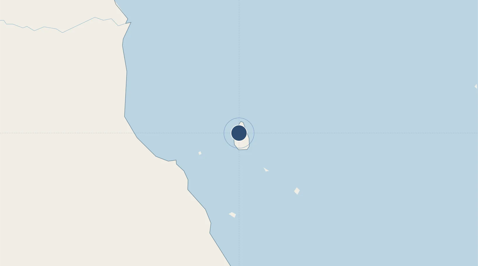
2.8182°, 104.1600°
3,255 ft
Longest runway
1
Runways
15 ft
Elevation
Runway & Layout

Radio Frequencies
AFIS
122.8 MHz
INFO
Navaids
VPT VOR-DME Pulau Tioman 114.00 MHz
Runways · 1
| Runway | Dimensions | Surface | True heading | Lit |
|---|---|---|---|---|
| 02/20 | 3,255 × 100ft | Asphalt | 026° | — |
Airport Specifications
IATA code
TOD
ICAO code
WMBT
Airport class
Medium airport
Scheduled service
Yes
Runway surface
Asphalt
Served city
Tioman Island
Location
Nearby Logistics Neighbours
Airports
- 1Kluang Airport128 km
- 2Senai International Airport142 km
- 3Kuantan Airport150 km
- 4Seletar Airport159 km
- 5Sembawang Air Base160 km
Cities
- 1Nenasi86 km
- 2Bandar Tenggara122 km
- 3Kluang128 km
- 4Ulu Tiram137 km
- 5Taman Molek147 km
Ports
- 1Kuantan New Port151 km
- 2Johor157 km
- 3Keppel - (East Singapore)174 km
- 4Tanjung Pelepas177 km
- 5Kemaman Harbor177 km
Trade Zones
DatabookThe Record of Consolidated Knowledge
Malaysia beyond logistics?