Free Trade Zone · Malaysia

Kenyir Lake Free Zone, Terengganu Under Development
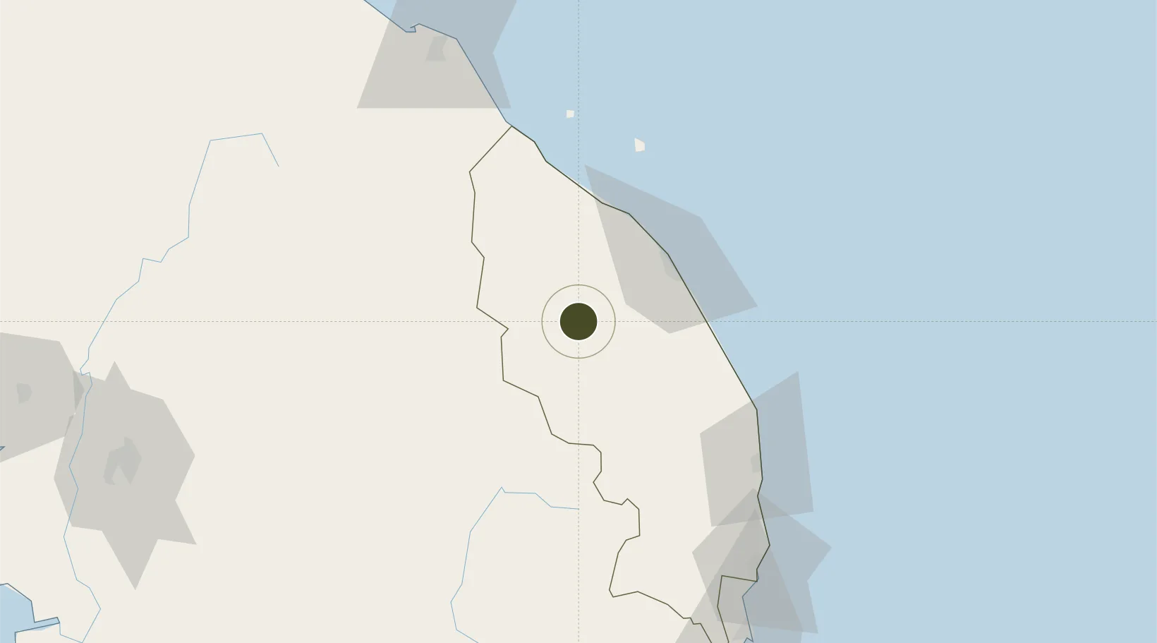
5.1329°, 102.7893°
209,000 ha
Zone area
45.1 km
Nearest port
44.5 km
Nearest airport

Gateway access

Nearest neighbours — logibook spatial index (haversine) over the source coordinates

Zone profile

Zone type
Free Trade Zone
Open Zone Map
Region
Terengganu
Open Zone Map
Status
Under Development
Open Zone Map
Management
Public
Open Zone Map
Operator
Central Terengganu Development Authority
Open Zone Map
Legal framework
Free Zones Act of 1990 (Act 438)
Open Zone Map

Location

Location of ozm-2814
Natural Earth 10m (public domain) · Terengganu · ozm-2814 · 5.13, 102.79GoogleOSMYandex

Nearby Logistics Neighbours

Ports
  1. 1Kuala Trengganu45 km
  2. 2Kemaman Harbor124 km
  3. 3Kuantan New Port148 km
  4. 4Teluk Anson232 km
  5. 5Tapis Marine Terminal A250 km
Nearest neighbours — logibook spatial index (haversine) over the source coordinates
Airports
  1. 1Sultan Mahmud Airport45 km
  2. 2Kerteh Airport97 km
  3. 3Sultan Ismail Petra Airport127 km
  4. 4Kuantan Airport158 km
  5. 5Narathiwat Airport193 km
Nearest neighbours — logibook spatial index (haversine) over the source coordinates
Cities
  1. 1Bahau58 km
  2. 2Jertih76 km
  3. 3Kuala Krai81 km
  4. 4Kuala Dungun81 km
  5. 5Kuala Besut82 km
Nearest neighbours — logibook spatial index (haversine) over the source coordinates
Trade Zones
  1. 1East Coast Economic Region126 km
  2. 2Rantau Panjang Free Commercial Zone134 km
  3. 3Duty Free Area At Pengkalan Kubor145 km
  4. 4Pengkalan Kubor Free Zone145 km
  5. 5Kuantan Port Free Zone, Pahang147 km
Nearest neighbours — logibook spatial index (haversine) over the source coordinates
DatabookThe Record of Consolidated Knowledge
Malaysia beyond logistics?
Browse databook

All Sources

Trade ZonesOpen Zone Map
CC BY
Portsthe NGA World Port Index
Public domain (US gov)
AirportsOurAirports
Public domain
LocationsUN/LOCODE
UN/LOCODE — free
← Malaysia trade zones