Diversified Zone · Malaysia

Galla Industrial Park Active
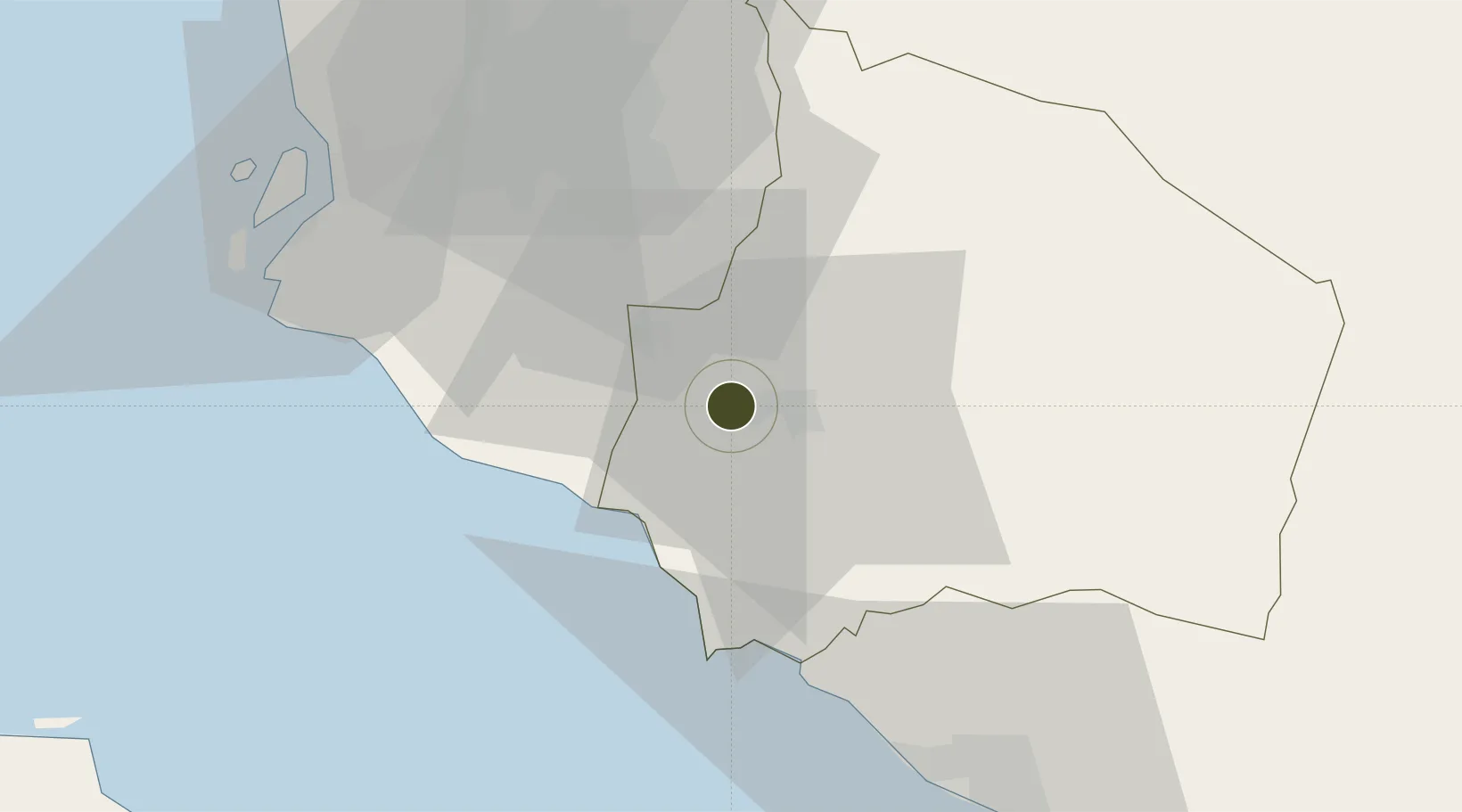
2.7298°, 101.8969°
80 ha
Zone area
25.2 km
Nearest port
20.8 km
Nearest airport

Gateway access

Nearest neighbours — logibook spatial index (haversine) over the source coordinates

Zone profile

Zone type
Diversified Zone
Open Zone Map
Region
Negeri Sembilan
Open Zone Map
Status
Active
Open Zone Map
Management
Public-Private Partnership
Open Zone Map
Operator
Prestajaya Group
Open Zone Map
Legal framework
Promotion of Investments Act 1986 and the Income Tax Act 1967.
Open Zone Map

Location

Location of ozm-2758
Natural Earth 10m (public domain) · Negeri Sembilan · ozm-2758 · 2.73, 101.90GoogleOSMYandex

Nearby Logistics Neighbours

Ports
  1. 1Port Dickson25 km
  2. 2Pelabuhan Sungai Udang60 km
  3. 3Port Klang63 km
  4. 4Melaka71 km
  5. 5Muar106 km
Nearest neighbours — logibook spatial index (haversine) over the source coordinates
Airports
  1. 1Kuala Lumpur International Airport21 km
  2. 2Sultan Abdul Aziz Shah International Airport59 km
  3. 3Malacca International Airport65 km
  4. 4Pinang Kampai Airport135 km
  5. 5Kluang Airport174 km
Nearest neighbours — logibook spatial index (haversine) over the source coordinates
Cities
  1. 1Seremban4 km
  2. 2Sendayan Village7 km
  3. 3Senawang8 km
  4. 4Nilai15 km
  5. 5Sepang, Selangor17 km
Nearest neighbours — logibook spatial index (haversine) over the source coordinates
Trade Zones
  1. 1Sendayan Tech Valley9 km
  2. 2Senawang Industrial Park10 km
  3. 3Techpark @ Enstek15 km
  4. 4Digital Free Trade Zone19 km
  5. 5Kuala Lumpur International Airport (Klia) Free Commercial Zone22 km
Nearest neighbours — logibook spatial index (haversine) over the source coordinates
DatabookThe Record of Consolidated Knowledge
Malaysia beyond logistics?
Browse databook

All Sources

Trade ZonesOpen Zone Map
CC BY
Portsthe NGA World Port Index
Public domain (US gov)
AirportsOurAirports
Public domain
LocationsUN/LOCODE
UN/LOCODE — free
← Malaysia trade zones