Transport Functions
Rail
Road
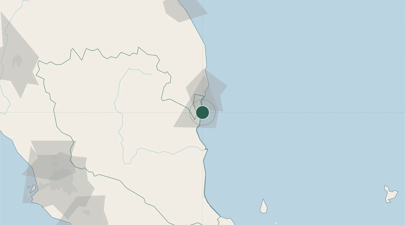
Hub Profile
Place type
Populated place
Region
Pahang
Time zone
Asia/Kuala_Lumpur
Elevation
8 m
Location
Nearby Logistics Neighbours
Cities
- 1Tanjung Gelang2 km
- 2Kuantan (Tanjong Gelang)3 km
- 3Cukai32 km
- 4Kertih61 km
- 5Kerteh61 km
Ports
- 1Kuantan New Port2 km
- 2Kemaman Harbor32 km
- 3Kuala Trengganu157 km
- 4Belida Marine Terminal191 km
- 5Muar233 km
Airports
- 1Kuantan Airport31 km
- 2Kerteh Airport64 km
- 3Tioman Airport152 km
- 4Sultan Mahmud Airport161 km
- 5Kluang Airport214 km
Trade Zones
- 1Kuantan Port Free Zone, Pahang1 km
- 2Kenyir Lake Free Zone, Terengganu147 km
- 3Senawang Industrial Park215 km
- 4Galla Industrial Park218 km
- 5Pedas Halal Park (Miel)218 km
DatabookThe Record of Consolidated Knowledge
Malaysia beyond logistics?