Medium airport · Malaysia
Kluang AirportWMAP
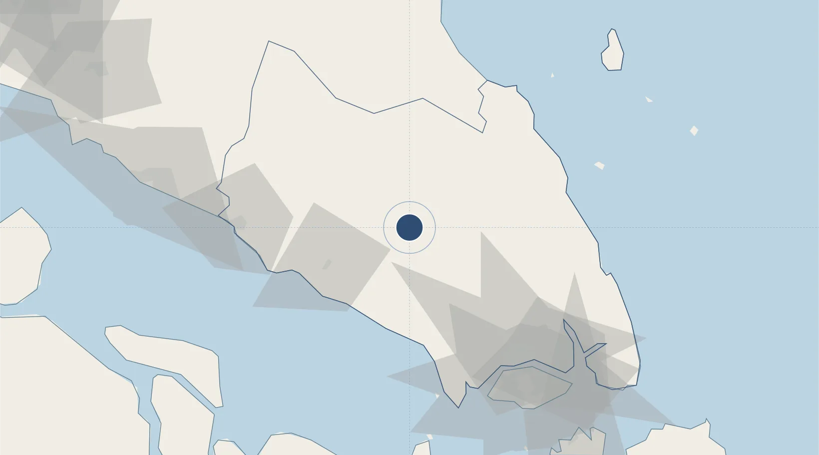
2.0414°, 103.3070°
4,101 ft
Longest runway
1
Runways
150 ft
Elevation
Runway & Layout

Radio Frequencies
TWR
128.3 MHz
APP
122.4 MHz
Runways · 1
| Runway | Dimensions | Surface | True heading | Lit |
|---|---|---|---|---|
| 05/23 | 4,101 × 121ft | Graded earth | 049° | — |
Airport Specifications
ICAO code
WMAP
Airport class
Medium airport
Scheduled service
No
Runway surface
Graded earth
Served city
Kluang
Location
Nearby Logistics Neighbours
Airports
- 1Senai International Airport60 km
- 2Tengah Air Base85 km
- 3Sembawang Air Base89 km
- 4Seletar Airport93 km
- 5Paya Lebar Air Base101 km
Cities
- 1Kluang1 km
- 2Bandar Tenggara40 km
- 3Senai62 km
- 4Ulu Tiram74 km
- 5Segamat75 km
Ports
- 1Tanjung Pelepas82 km
- 2Muar82 km
- 3Johor94 km
- 4Jurong Island97 km
- 5Pulau Bukom103 km
Trade Zones
DatabookThe Record of Consolidated Knowledge
Malaysia beyond logistics?