Diversified Zone · Malaysia

Senawang Industrial Park Under Development
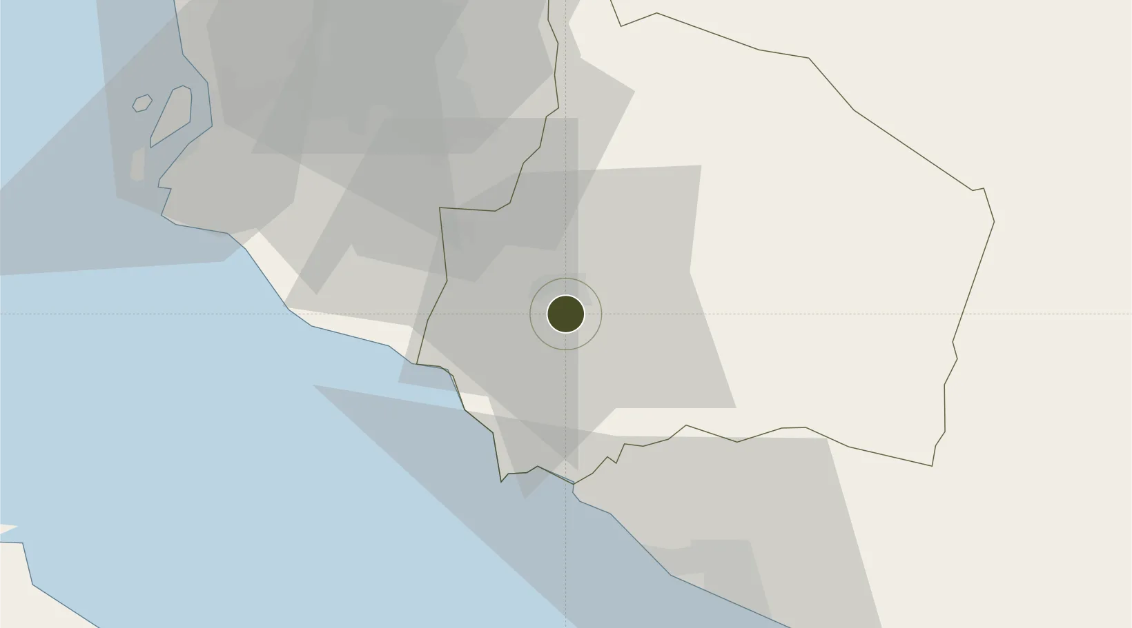
2.6815°, 101.9752°
133 ha
Zone area
26.9 km
Nearest port
30.3 km
Nearest airport

Gateway access

Nearest neighbours — logibook spatial index (haversine) over the source coordinates

Zone profile

Zone type
Diversified Zone
Open Zone Map
Region
Negeri Sembilan
Open Zone Map
Status
Under Development
Open Zone Map
Management
Public-Private Partnership
Open Zone Map
Operator
Perbadanan Kemajuan Negeri Negeri Sembilan (PKNNS)
Open Zone Map
Legal framework
Promotion of Investments Act 1986 and the Income Tax Act 1967.
Open Zone Map

Location

Location of ozm-2760
Natural Earth 10m (public domain) · Negeri Sembilan · ozm-2760 · 2.68, 101.98GoogleOSMYandex

Nearby Logistics Neighbours

Ports
  1. 1Port Dickson27 km
  2. 2Pelabuhan Sungai Udang51 km
  3. 3Melaka62 km
  4. 4Port Klang73 km
  5. 5Muar96 km
Nearest neighbours — logibook spatial index (haversine) over the source coordinates
Airports
  1. 1Kuala Lumpur International Airport30 km
  2. 2Malacca International Airport56 km
  3. 3Sultan Abdul Aziz Shah International Airport69 km
  4. 4Pinang Kampai Airport134 km
  5. 5Kluang Airport164 km
Nearest neighbours — logibook spatial index (haversine) over the source coordinates
Cities
  1. 1Senawang2 km
  2. 2Seremban6 km
  3. 3Sendayan Village14 km
  4. 4Rembau18 km
  5. 5Nilai25 km
Nearest neighbours — logibook spatial index (haversine) over the source coordinates
Trade Zones
  1. 1Galla Industrial Park10 km
  2. 2Pedas Halal Park (Miel)15 km
  3. 3Sendayan Tech Valley16 km
  4. 4Techpark @ Enstek24 km
  5. 5Digital Free Trade Zone28 km
Nearest neighbours — logibook spatial index (haversine) over the source coordinates
DatabookThe Record of Consolidated Knowledge
Malaysia beyond logistics?
Browse databook

All Sources

Trade ZonesOpen Zone Map
CC BY
Portsthe NGA World Port Index
Public domain (US gov)
AirportsOurAirports
Public domain
LocationsUN/LOCODE
UN/LOCODE — free
← Malaysia trade zones