UN/LOCODE hub · Malaysia
MYKUA
Kuantan (Tanjong Gelang)
3.9538°, 103.3943°
2
Transport functions
1
Container terminals
Transport Functions
Port
Airport
Hub Profile
Logistics facilities
13
Container terminals
1
Location
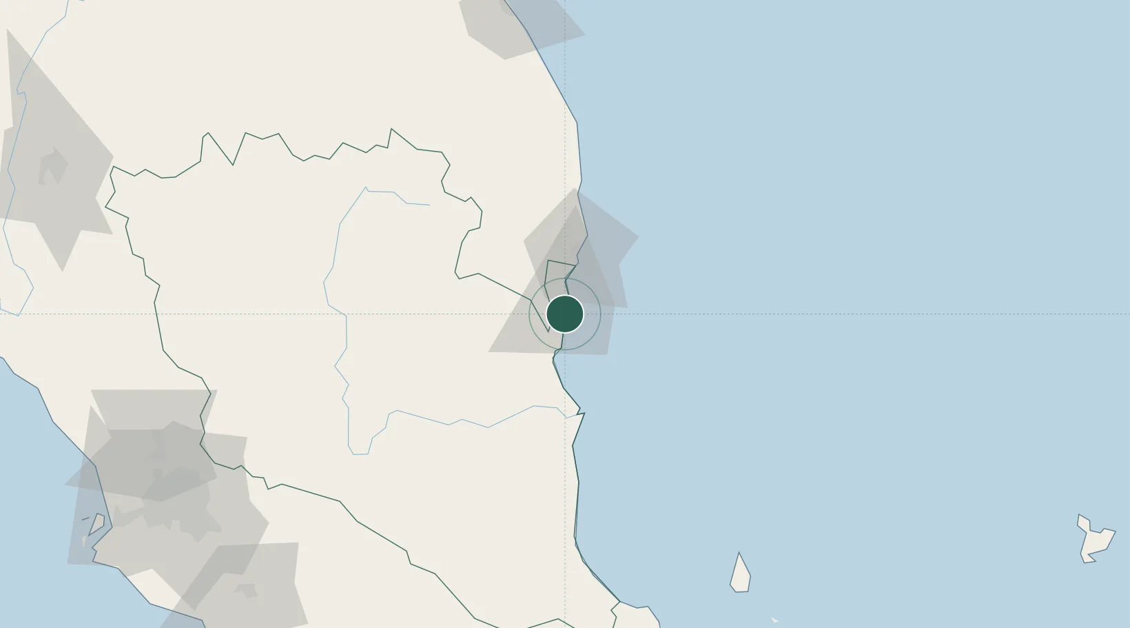
Nearby Logistics Neighbours
Cities
- 1Gebeng3 km
- 2Tanjung Gelang4 km
- 3Cukai33 km
- 4Kertih63 km
- 5Kerteh63 km
Ports
- 1Kemaman Harbor34 km
- 2Kuala Trengganu158 km
- 3Belida Marine Terminal194 km
- 4Muar231 km
- 5Melaka233 km
Airports
- 1Kuantan Airport29 km
- 2Kerteh Airport65 km
- 3Tioman Airport152 km
- 4Sultan Mahmud Airport162 km
- 5Kluang Airport213 km
Trade Zones
- 1Kuantan Port Free Zone, Pahang4 km
- 2Kenyir Lake Free Zone, Terengganu147 km
- 3Senawang Industrial Park212 km
- 4Galla Industrial Park215 km
- 5Pedas Halal Park (Miel)215 km
DatabookThe Record of Consolidated Knowledge
Malaysia beyond logistics?