Seaport · Malaysia
Kuantan New PortMYKUA
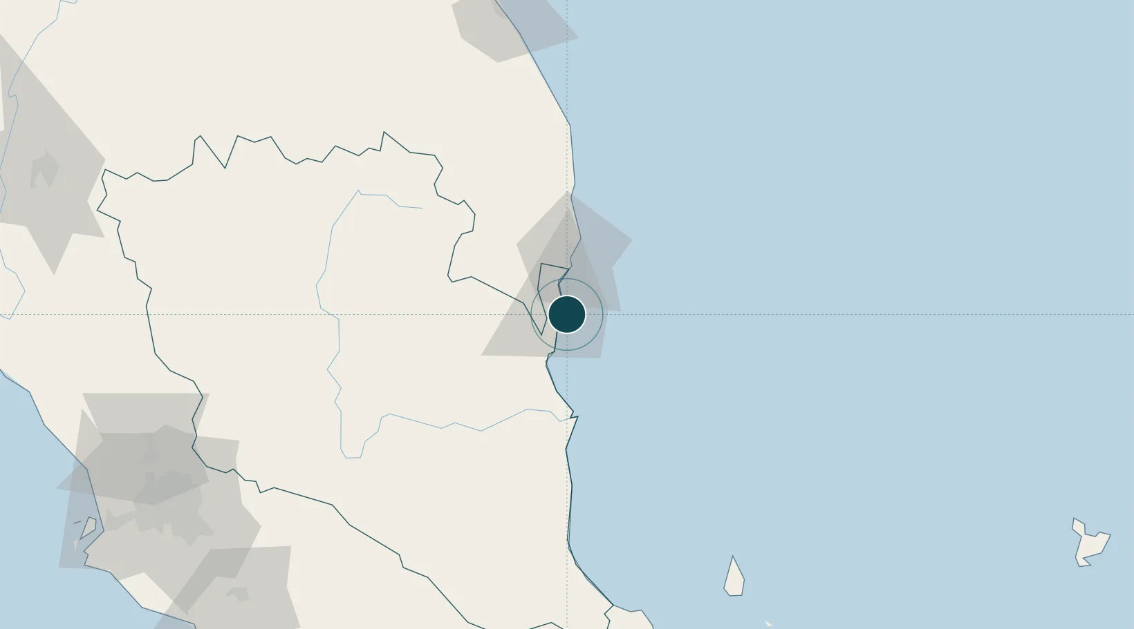
3.9667°, 103.4333°
12.5 m
Channel depth
1
Container terminals
70.7
Port liner connectivity
Channel & Berth Profile
Pilotage, Tugs & Services
Pilotage compulsoryYES
Pilotage availableYES
Tug assistanceYES
Potable waterYES
MedicalYES
Garbage disposalYES
Facilities & Capabilities
Container—
Ro-Ro—
Liquid bulk—
Dry bulk—
Oil terminal—
Break bulk—
Dry dock—
Repairs—
BunkeringYES
Rail link—
Dangerous cargo—
ISPS security—
Harbour Specifications
Harbour size
Small
Harbour type
Coastal (Breakwater)
Shelter
Good
Water body
South China Sea; North Pacific Ocean
Tidal range
3 m
Pilotage
Yes
Liner Connectivity
70.7
PLSCI
Port Liner Shipping Connectivity Index for Kuantan New Port, as published by UNCTAD for the latest available quarter. Higher values indicate stronger scheduled liner-shipping integration.
Shown relative to the highest per-port PLSCI in the dataset (1,657.9).
Location
Container Terminals · 1
KUANTAN PORT CONTAINER TERMINAL
KPCT KUANTAN PORT CONSORTIUM SDN BHD
Nearby Logistics Neighbours
Ports
- 1Kemaman Harbor32 km
- 2Kuala Trengganu157 km
- 3Belida Marine Terminal190 km
- 4Muar234 km
- 5Melaka236 km
Cities
- 1Gebeng2 km
- 2Tanjung Gelang3 km
- 3Cukai32 km
- 4Kertih61 km
- 5Kerteh61 km
Airports
- 1Kuantan Airport33 km
- 2Kerteh Airport63 km
- 3Tioman Airport151 km
- 4Sultan Mahmud Airport162 km
- 5Kluang Airport215 km
Trade Zones
- 1Kuantan Port Free Zone, Pahang2 km
- 2Kenyir Lake Free Zone, Terengganu148 km
- 3Senawang Industrial Park216 km
- 4Galla Industrial Park219 km
- 5Pedas Halal Park (Miel)219 km
DatabookThe Record of Consolidated Knowledge
Malaysia beyond logistics?