Seaport · Indonesia
PanjangIDPNJ
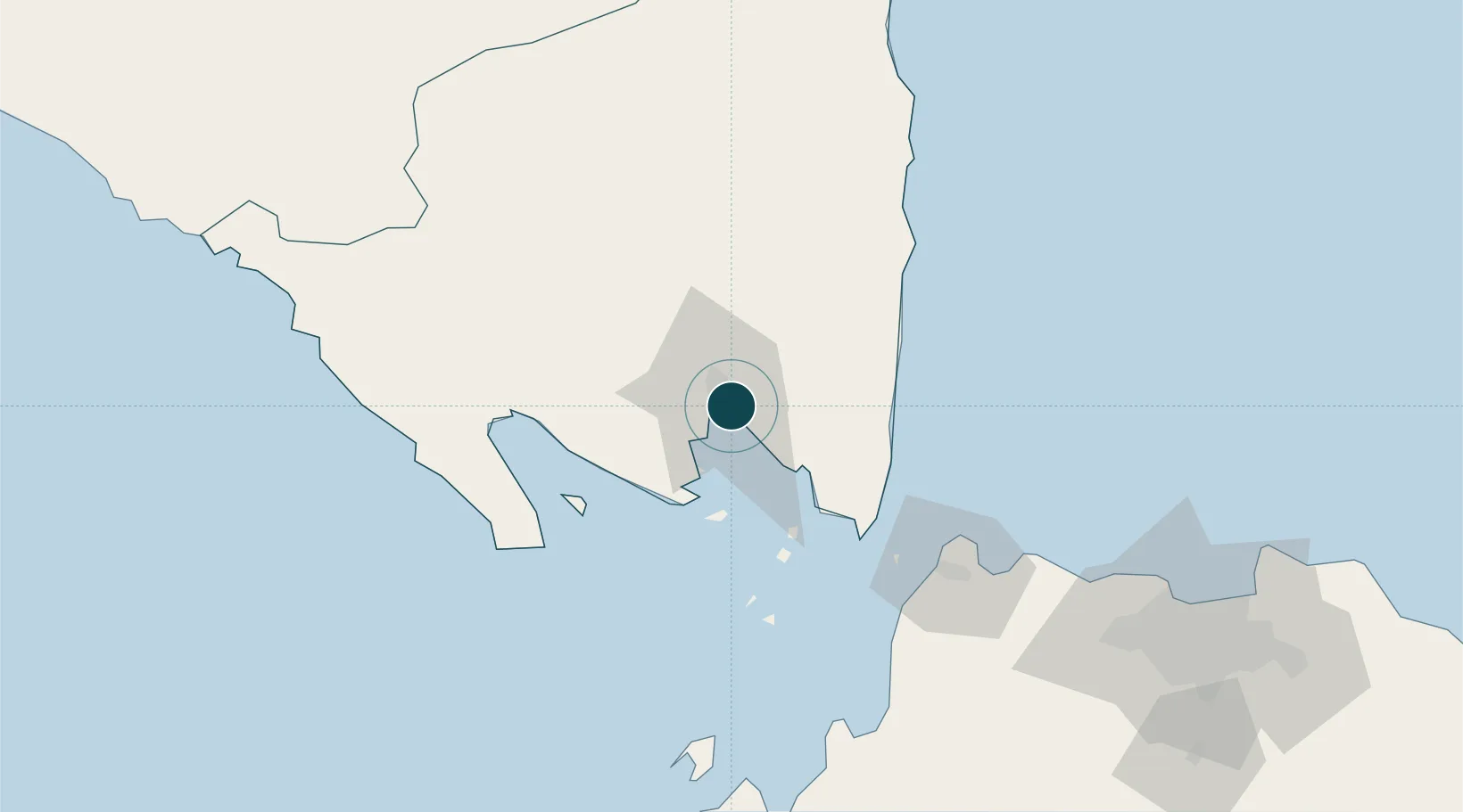
-5.4667°, 105.3167°
12.5 m
Channel depth
1
Container terminals
37.6
Port liner connectivity
Channel & Berth Profile
Pilotage, Tugs & Services
Pilotage compulsoryYES
Pilotage availableYES
Pilotage advisableYES
Local assistanceYES
Tug assistanceYES
Salvage tugsNO
Shore powerNO
Potable waterYES
MedicalYES
Garbage disposalNO
Facilities & Capabilities
Container—
Ro-Ro—
Liquid bulk—
Dry bulk—
Oil terminal—
Break bulk—
Dry dockNO
RepairsNO
BunkeringNO
Rail linkYES
Dangerous cargo—
ISPS security—
Harbour Specifications
Harbour size
Very Small
Harbour type
Coastal (Natural)
Shelter
Good
Water body
Indian Ocean
Tidal range
3 m
Pilotage
Yes
Liner Connectivity
37.6
PLSCI
Port Liner Shipping Connectivity Index for Panjang, as published by UNCTAD for the latest available quarter. Higher values indicate stronger scheduled liner-shipping integration.
Shown relative to the highest per-port PLSCI in the dataset (1,657.9).
Location
Container Terminals · 1
IPC TERMINAL PETIKEMAS PANJANG
TPPJ PT IPC TERMINAL PETIKEMAS
Nearby Logistics Neighbours
Ports
- 1Merak Mas Terminal91 km
- 2Tanjung Sekong91 km
- 3Anyer Lor93 km
- 4Banten94 km
- 5Widuri Marine Terminal172 km
Cities
- 1Panjang (Lampung, Sumatra)4 km
- 2Tarahan12 km
- 3Anyer Kidul92 km
- 4Ciwandan93 km
- 5Cikande140 km
Airports
Trade Zones
DatabookThe Record of Consolidated Knowledge
Indonesia beyond logistics?