Transport Functions
Port
Airport
Hub Profile
Place type
Regional capital
Region
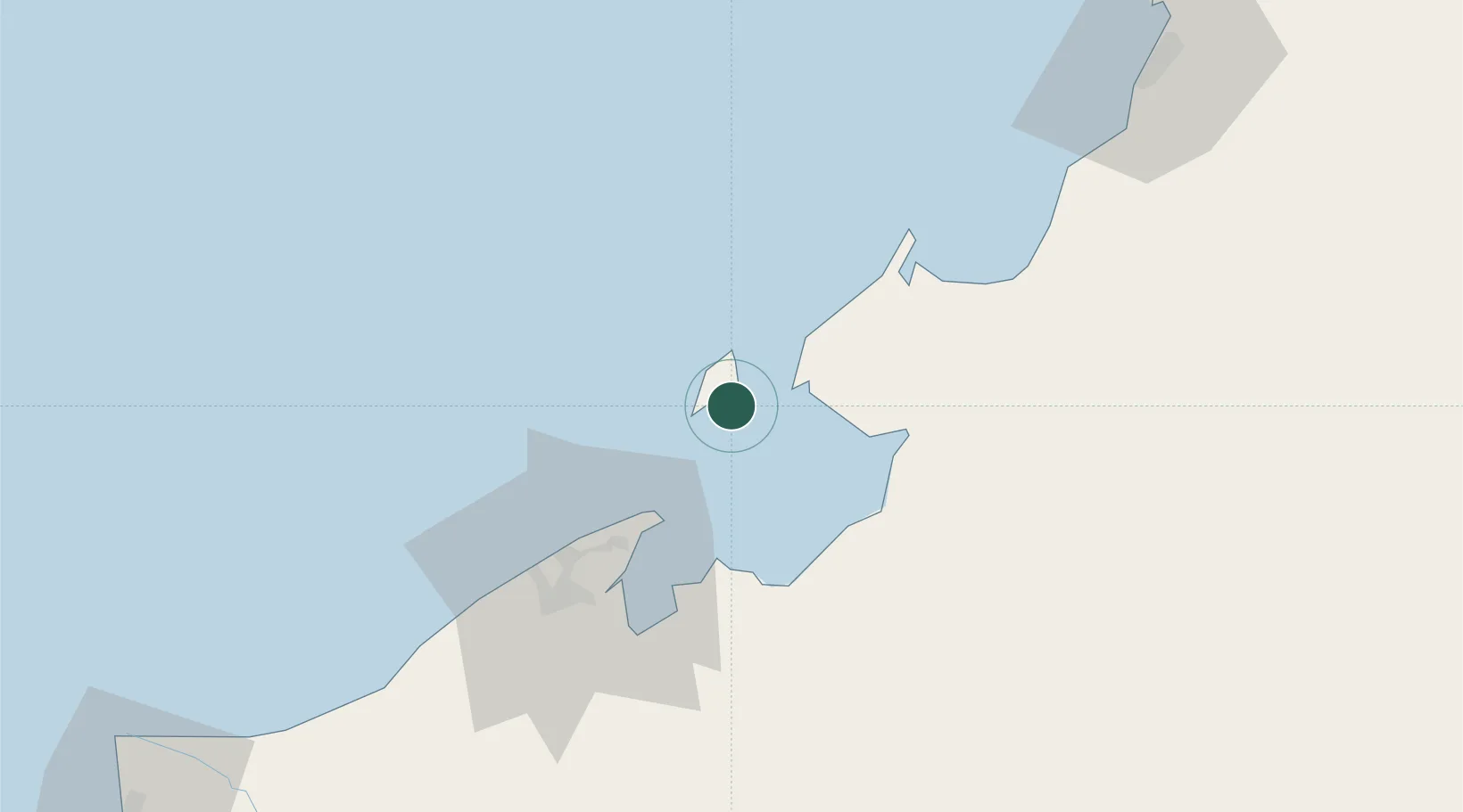
Labuan
Population
95,120
Time zone
Asia/Kuala_Lumpur
Elevation
7 m
Logistics facilities
2
Location
Nearby Logistics Neighbours
Cities
- 1Menumbok14 km
- 2Muara33 km
- 3Bandar Seri Begawan55 km
- 4Beaufort57 km
- 5Kimanis, Sabah82 km
Ports
- 1Muara Harbor33 km
- 2Bandar Seri Begawan59 km
- 3Lumut107 km
- 4Kota Kinabalu121 km
- 5Seria Oil Loading Terminal126 km
Airports
- 1Labuan Airport3 km
- 2Brunei International Airport50 km
- 3Lawas Airport51 km
- 4Limbang Airport58 km
- 5Kota Kinabalu International Airport116 km
Trade Zones
DatabookThe Record of Consolidated Knowledge
Malaysia beyond logistics?