Seaport · Philippines
General SantosPHGES
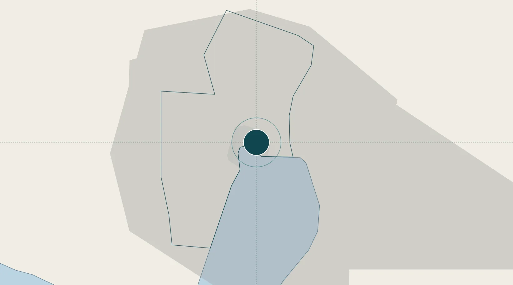
6.1167°, 125.1833°
4.9 m
Channel depth
1
Container terminals
74.8
Port liner connectivity
Channel & Berth Profile
Pilotage, Tugs & Services
Pilotage compulsoryYES
Pilotage availableYES
Tug assistanceYES
Salvage tugsNO
Shore powerYES
Potable waterYES
MedicalYES
Garbage disposalYES
Facilities & Capabilities
Container—
Ro-Ro—
Liquid bulk—
Dry bulk—
Oil terminal—
Break bulk—
Dry dock—
Repairs—
BunkeringYES
Rail link—
Dangerous cargo—
ISPS security—
Harbour Specifications
Harbour size
Very Small
Harbour type
Coastal (Natural)
Shelter
Good
Water body
Celebes Sea; North Pacific Ocean
Tidal range
2 m
Pilotage
Yes
Liner Connectivity
74.8
PLSCI
Port Liner Shipping Connectivity Index for General Santos, as published by UNCTAD for the latest available quarter. Higher values indicate stronger scheduled liner-shipping integration.
Shown relative to the highest per-port PLSCI in the dataset (1,657.9).
Location
Container Terminals · 1
MAKAR WHARF GENERAL SANTOS (SCIPSI)
MAKAR SOUTH COTABATO INTEGRATED PORT SERVICES, INC. (SCIPSI)
Nearby Logistics Neighbours
Ports
- 1Davao116 km
- 2Mati147 km
- 3Polloc (Cotabato)174 km
- 4Iligan258 km
- 5Mangagoy267 km
Cities
- 1Astorga90 km
- 2Davao, Mindanao127 km
- 3Kalamansig134 km
- 4DICT / SVT142 km
- 5Panabo143 km
Airports
DatabookThe Record of Consolidated Knowledge
Philippines beyond logistics?