UN/LOCODE hub · Philippines
PHGES
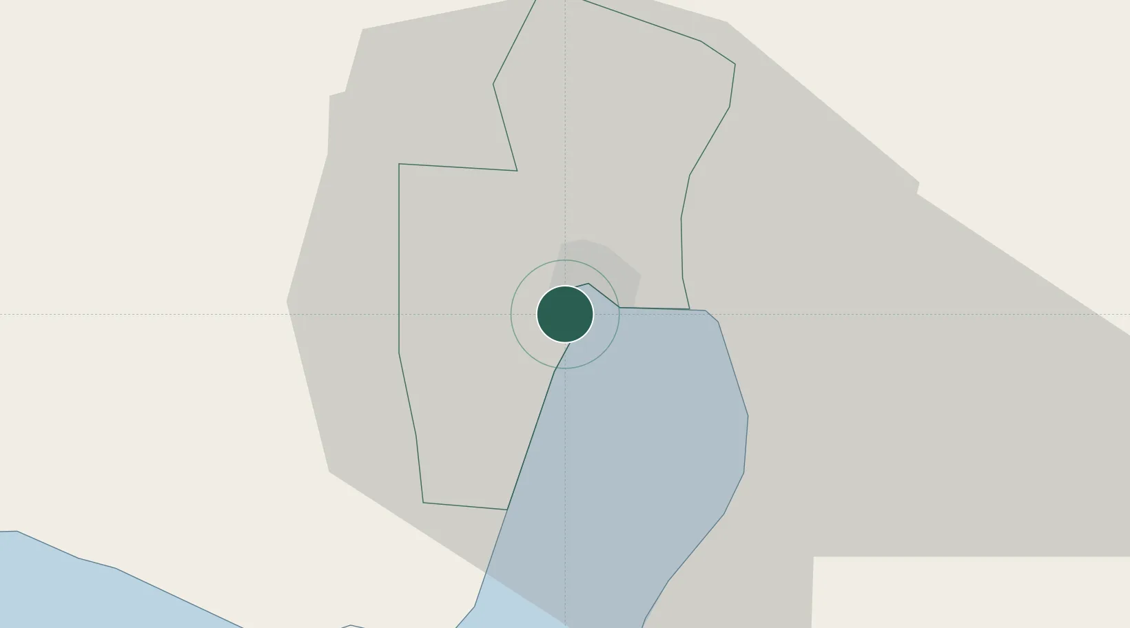
General Santos
6.0903°, 125.1526°
722,059
Population
3
Transport functions
1
Container terminals
Transport Functions
Port
Road
Airport
Hub Profile
Place type
Populated place
Region
Soccsksargen
Population
722,059
Time zone
Asia/Manila
Elevation
22 m
Logistics facilities
11
Container terminals
1
Location
Nearby Logistics Neighbours
Cities
- 1Astorga94 km
- 2Davao, Mindanao132 km
- 3Kalamansig132 km
- 4DICT / SVT146 km
- 5Panabo147 km
Ports
- 1Davao120 km
- 2Mati152 km
- 3Polloc (Cotabato)174 km
- 4Iligan259 km
- 5Port Ozamis269 km
Airports
DatabookThe Record of Consolidated Knowledge
Philippines beyond logistics?