Transport Functions
Port
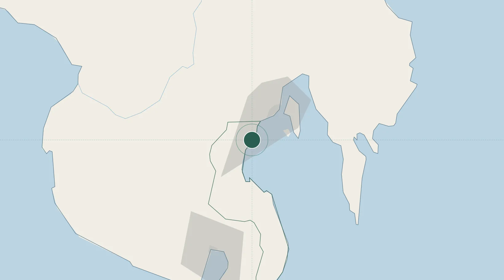
Hub Profile
Place type
Populated place
Region
Davao Region
Population
10,712
Time zone
Asia/Manila
Elevation
45 m
Location
Nearby Logistics Neighbours
Cities
- 1Davao, Mindanao39 km
- 2DICT / SVT52 km
- 3Panabo53 km
- 4General Santos94 km
- 5Boston/Davao148 km
Ports
- 1Davao28 km
- 2Mati85 km
- 3General Santos90 km
- 4Polloc (Cotabato)146 km
- 5Mangagoy178 km
Airports
Trade Zones
DatabookThe Record of Consolidated Knowledge
Philippines beyond logistics?