UN/LOCODE hub · Philippines
PHKLM
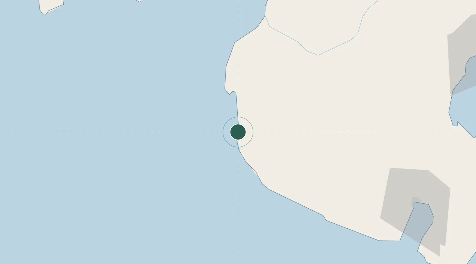
Kalamansig
6.5500°, 124.0500°
52,257
Population
2
Transport functions
Transport Functions
Port
Road
Hub Profile
Place type
Populated place
Region
Soccsksargen
Population
52,257
Time zone
Asia/Manila
Elevation
2 m
Location
Nearby Logistics Neighbours
Cities
- 1General Santos132 km
- 2Astorga159 km
- 3Davao, Mindanao190 km
- 4Kabasalan/Zamboanga198 km
- 5Panabo199 km
Ports
- 1Polloc (Cotabato)91 km
- 2General Santos134 km
- 3Pagadian158 km
- 4Port Ozamis177 km
- 5Davao182 km
Airports
- 1Cotabato (Awang) Airport71 km
- 2Allah Valley Airport80 km
- 3Central Mindanao Airport105 km
- 4General Santos International Airport128 km
- 5Rajah Buayan Air Base140 km
Trade Zones
DatabookThe Record of Consolidated Knowledge
Philippines beyond logistics?