Large airport · Philippines

General Santos International AirportRPMR
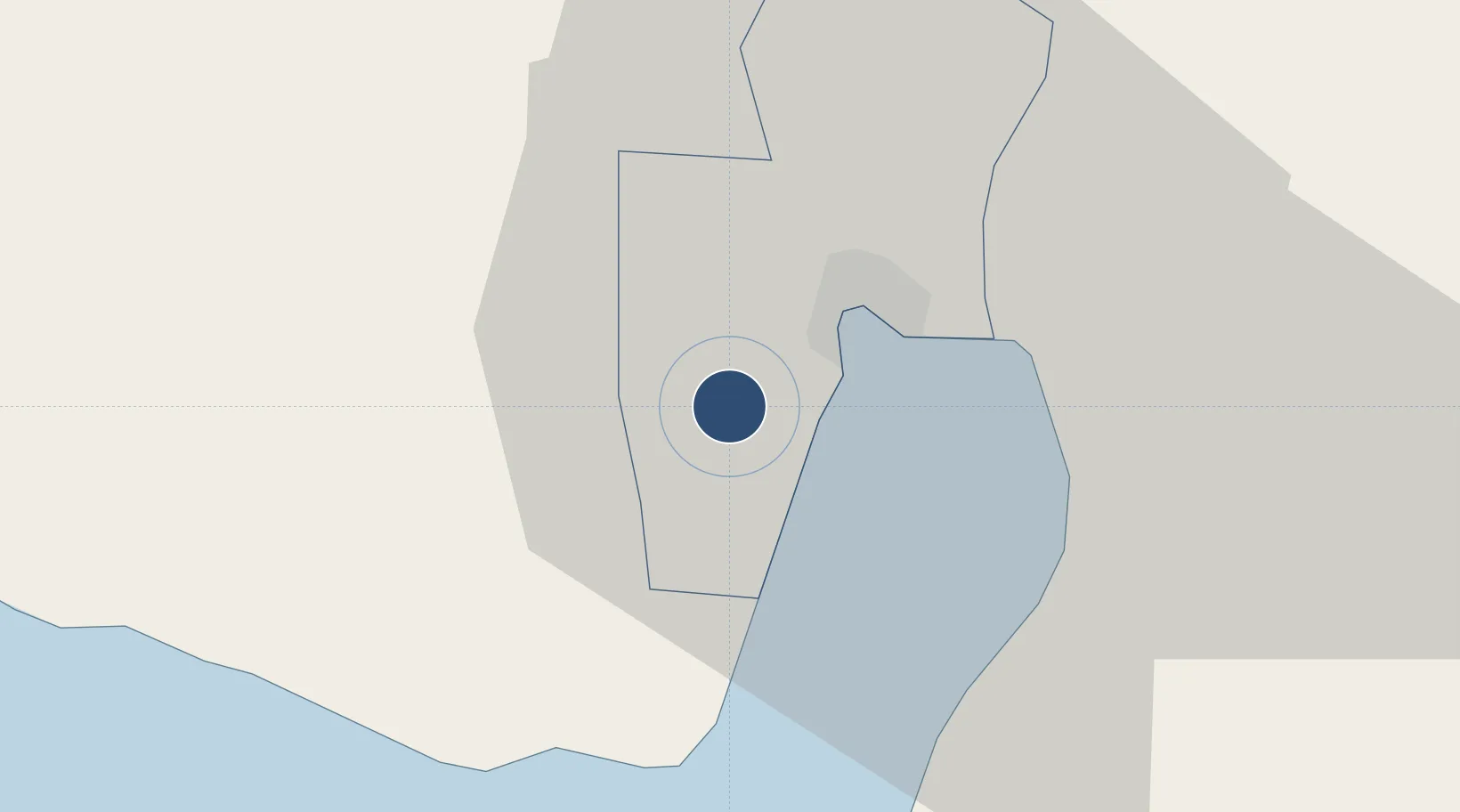
6.0572°, 125.0962°
10,587 ft
Longest runway
1
Runways
505 ft
Elevation

Runway & Layout

General Santos International Airport runway & taxiway layout
Runway & taxiway layout — OpenStreetMap (ODbL) / OurAirports

Radio Frequencies

TWR
118.4 MHz
APP
119.1 MHz
RDO
680.25 MHz
OurAirports

Navaids

GSA VOR-DME Tambler 114.50 MHz
TBR NDB Tambler 377 kHz
OurAirports

Runways · 1

RunwayDimensions SurfaceTrue headingLit
17/35 10,587 × 148ft Concrete 173°
OurAirports

Airport Specifications

IATA code
GES
OurAirports
ICAO code
RPMR
OurAirports
Airport class
Large airport
OurAirports
Scheduled service
Yes
OurAirports
Runway surface
Concrete
OurAirports
Served city
General Santos
OurAirports

Location

Location of RPMR
Natural Earth 10m (public domain) · General Santos · RPMR · 6.06, 125.10GoogleOSMYandex

Nearby Logistics Neighbours

Airports
  1. 1Rajah Buayan Air Base16 km
  2. 2Allah Valley Airport51 km
  3. 3Central Mindanao Airport97 km
  4. 4Francisco Bangoy International Airport133 km
  5. 5Cotabato (Awang) Airport157 km
Nearest neighbours — logibook spatial index (haversine) over the source coordinates
Cities
  1. 1General Santos7 km
  2. 2Astorga100 km
  3. 3Kalamansig128 km
  4. 4Davao, Mindanao138 km
  5. 5DICT / SVT152 km
Nearest neighbours — logibook spatial index (haversine) over the source coordinates
Ports
  1. 1General Santos12 km
  2. 2Davao126 km
  3. 3Mati159 km
  4. 4Polloc (Cotabato)174 km
  5. 5Iligan260 km
Nearest neighbours — logibook spatial index (haversine) over the source coordinates
Trade Zones
  1. 1Gensan Economic Zone6 km
  2. 2Gensan Economic Zone6 km
  3. 3Agrotex Gensan Economic Zone6 km
  4. 4Millennium Industrial Economic Zone6 km
  5. 5SRC Calumpang Economic Development Zone7 km
Nearest neighbours — logibook spatial index (haversine) over the source coordinates
DatabookThe Record of Consolidated Knowledge
Philippines beyond logistics?
Browse databook

All Sources

AirportsOurAirports
Public domain
Portsthe NGA World Port Index
Public domain (US gov)
LocationsUN/LOCODE
UN/LOCODE — free
Trade Zonesthe World Bank SEZ database
CC BY 4.0
Trade ZonesOpen Zone Map
CC BY
InfrastructureOpenStreetMap
ODbL 1.0
← Philippines airports