Seaport · Philippines
DavaoPHDVO
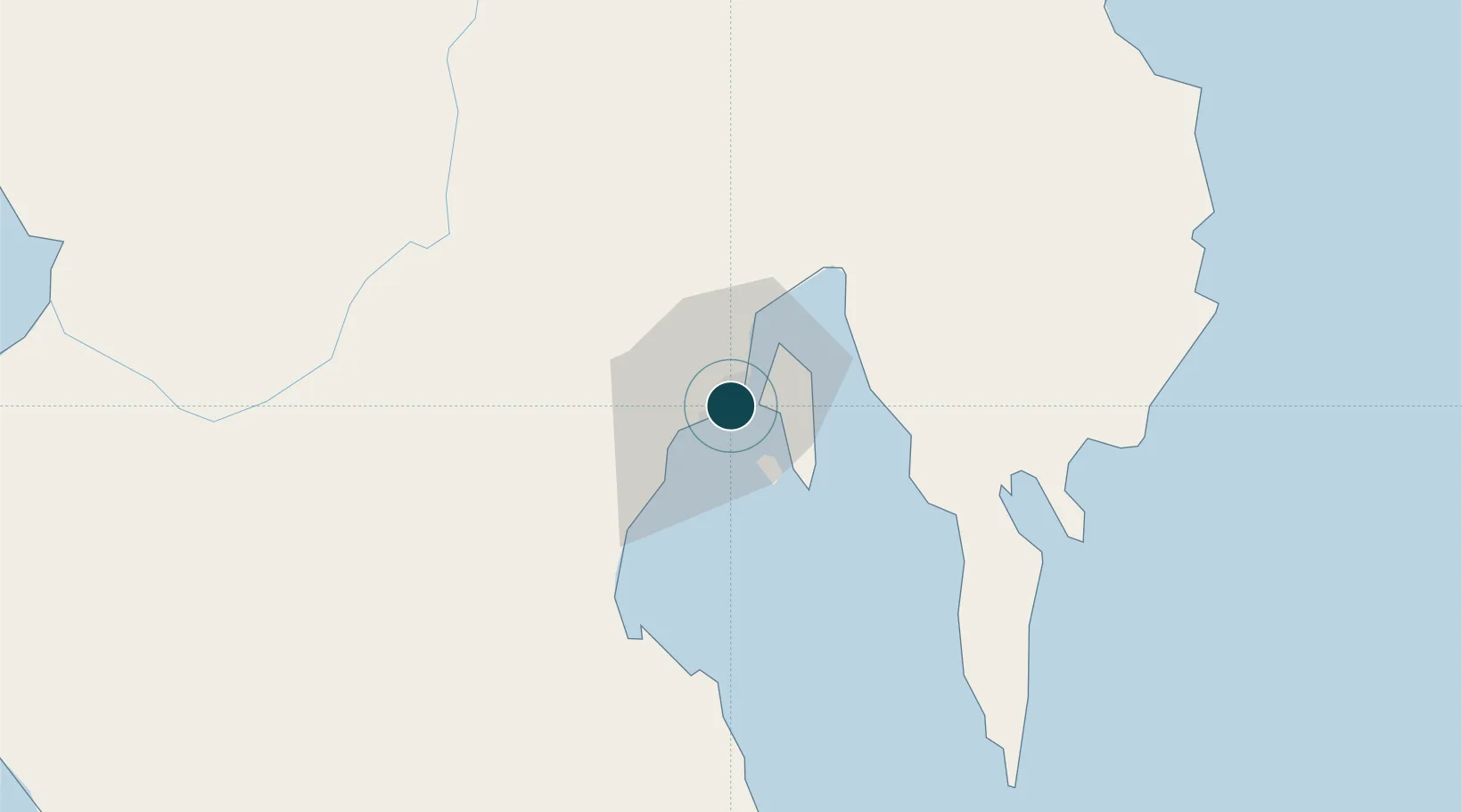
7.0667°, 125.6167°
4.9 m
Channel depth
5
Container terminals
160.2
Port liner connectivity
Channel & Berth Profile
Pilotage, Tugs & Services
Pilotage compulsoryYES
Pilotage advisableYES
Tug assistanceYES
Potable waterYES
Diesel bunkersYES
MedicalYES
Garbage disposalYES
Facilities & Capabilities
Container—
Ro-Ro—
Liquid bulk—
Dry bulk—
Oil terminal—
Break bulk—
Dry dockNO
RepairsNO
BunkeringYES
Rail link—
Dangerous cargo—
ISPS security—
Harbour Specifications
Harbour size
Small
Harbour type
Coastal (Natural)
Shelter
Good
Water body
Celebes Sea; North Pacific Ocean
Tidal range
2 m
Pilotage
Yes
Liner Connectivity
160.2
PLSCI
Port Liner Shipping Connectivity Index for Davao, as published by UNCTAD for the latest available quarter. Higher values indicate stronger scheduled liner-shipping integration.
Shown relative to the highest per-port PLSCI in the dataset (1,657.9).
Location
Container Terminals · 5
DAVAO INTERNATIONAL CONTAINER TERMINAL (DICT)
DICT DAVAO INTERNATIONAL CONTAINER TERMINAL CORP. (DICT)
ILANG TERMINAL DAVAO (TEFASCO)
ILANG TERMINAL FACILITIES AND SERVICES CORPORATION (TEFASCO)
KTC CONTAINER TERMINAL
KTC KTC CONTAINER TERMINAL CORPORATION
KUDOS PORT DAVAO
KUD KUDOS TRUCKING CORPORATION
SASA WHARF PORT OF DAVAO
SASA GLOBALPORT TERMINALS INC. (GTI)
Nearby Logistics Neighbours
Ports
- 1Mati68 km
- 2General Santos116 km
- 3Mangagoy151 km
- 4Polloc (Cotabato)158 km
- 5Hinatuan165 km
Cities
- 1DICT / SVT26 km
- 2Panabo27 km
- 3Astorga28 km
- 4General Santos120 km
- 5Boston/Davao120 km
Airports
- 1Francisco Bangoy International Airport7 km
- 2Mati National Airport74 km
- 3Central Mindanao Airport78 km
- 4Rajah Buayan Air Base115 km
- 5Allah Valley Airport123 km
Trade Zones
DatabookThe Record of Consolidated Knowledge
Philippines beyond logistics?