Small airport · Indonesia

Kiwirok AirstripWAJK
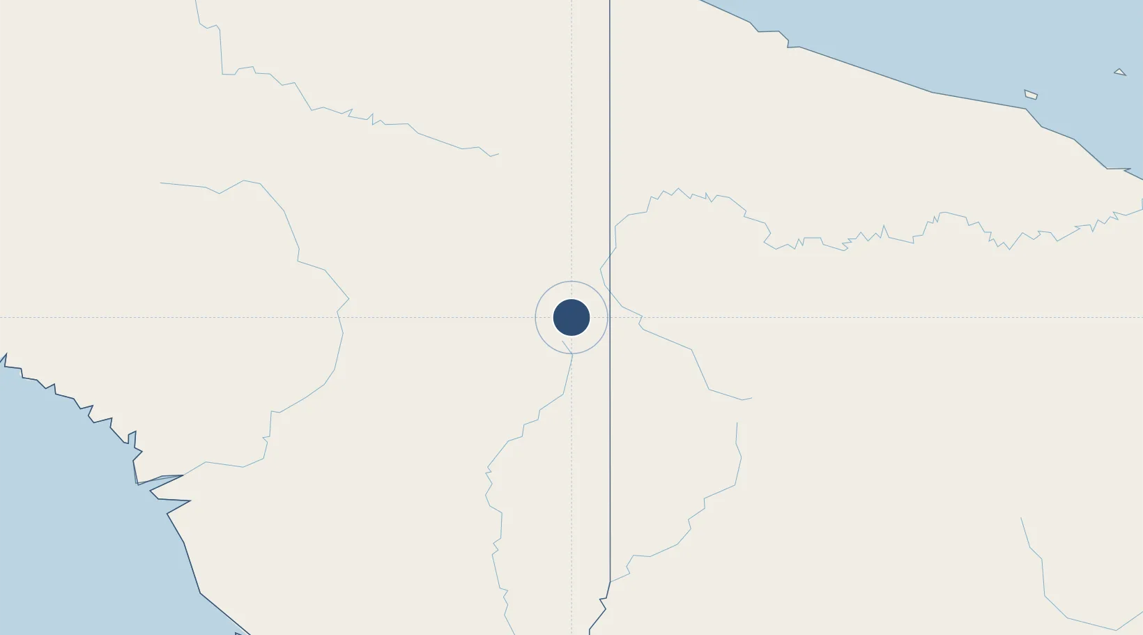
-4.7135°, 140.7403°
1,448 ft
Longest runway
1
Runways
5,470 ft
Elevation

Runway & Layout

Kiwirok Airstrip runway & taxiway layout
Runway & taxiway layout — OpenStreetMap (ODbL) / OurAirports

Runways · 1

RunwayDimensions SurfaceTrue headingLit
07/25 1,448 × 59ft Gravel
OurAirports

Airport Specifications

ICAO code
WAJK
OurAirports
Airport class
Small airport
OurAirports
Scheduled service
Yes
OurAirports
Runway surface
Gravel
OurAirports
Served city
Kiwirok
OurAirports

Location

Location of WAJK
Natural Earth 10m (public domain) · Papua · WAJK · -4.71, 140.74GoogleOSMYandex

Nearby Logistics Neighbours

Airports
  1. 1Kiwi Airstrip3 km
  2. 2Okpahik Airstrip4 km
  3. 3Diphikin Airstrip6 km
  4. 4Oklip Airstrip7 km
  5. 5Kubibkop Airport10 km
Nearest neighbours — logibook spatial index (haversine) over the source coordinates
Cities
  1. 1Asike218 km
  2. 2Jayapura, Irian Jaya241 km
  3. 3Demta273 km
  4. 4Yentchan286 km
  5. 5Aiambak299 km
Nearest neighbours — logibook spatial index (haversine) over the source coordinates
Ports
  1. 1Vanimo230 km
  2. 2Wewak Harbor345 km
  3. 3Amamapare418 km
  4. 4Merauke421 km
  5. 5Daru555 km
Nearest neighbours — logibook spatial index (haversine) over the source coordinates
Trade Zones
  1. 1Sandaun Special Economic Zone84 km
  2. 2Sepik Special Economic Zone122 km
  3. 3Vanimo Special Economic Zone233 km
  4. 4Western Province Special Economic Zone255 km
  5. 5Manus Special Economic Zone436 km
Nearest neighbours — logibook spatial index (haversine) over the source coordinates
DatabookThe Record of Consolidated Knowledge
Indonesia beyond logistics?
Browse databook

All Sources

AirportsOurAirports
Public domain
Portsthe NGA World Port Index
Public domain (US gov)
LocationsUN/LOCODE
UN/LOCODE — free
Trade Zonesthe World Bank SEZ database
CC BY 4.0
Trade ZonesOpen Zone Map
CC BY
InfrastructureOpenStreetMap
ODbL 1.0
← Indonesia airports