Runway & Layout

Airport Specifications
Airport class
Small airport
Scheduled service
Yes
Served city
Pegunungan Bintang
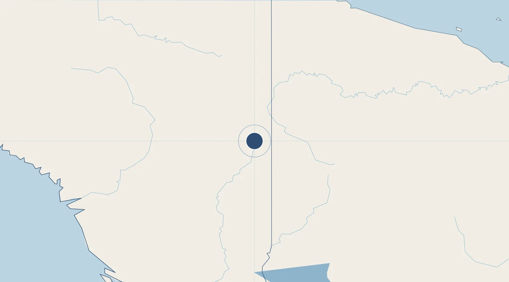
Location
Nearby Logistics Neighbours
Airports
- 1Kubibkop Airport12 km
- 2Oksibil Airport13 km
- 3Oklip Airstrip15 km
- 4Tinibil Airstrip16 km
- 5Diphikin Airstrip19 km
Cities
- 1Asike199 km
- 2Jayapura, Irian Jaya261 km
- 3Aiambak280 km
- 4Kassue287 km
- 5Yentchan291 km
Ports
- 1Vanimo249 km
- 2Wewak Harbor353 km
- 3Merauke401 km
- 4Amamapare418 km
- 5Daru538 km
Trade Zones
DatabookThe Record of Consolidated Knowledge
Indonesia beyond logistics?