Transport Functions
Port
Road
Hub Profile
Place type
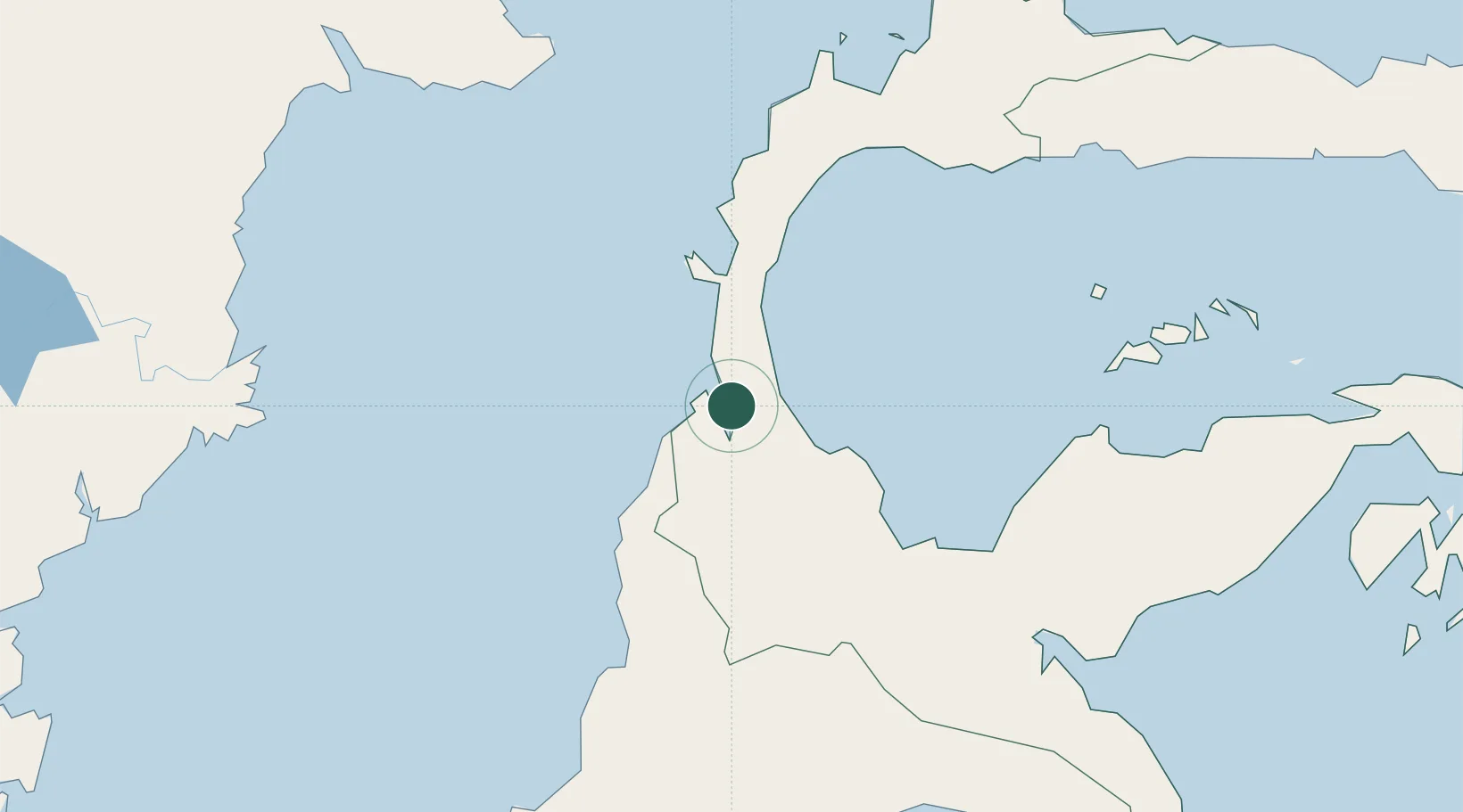
Regional capital
Region
Central Sulawesi
Population
373,218
Time zone
Asia/Makassar
Elevation
9 m
Logistics facilities
1
Location
Nearby Logistics Neighbours
Cities
- 1Pantoloan, Sv0 km
- 2Kerobokan70 km
- 3Ampana193 km
- 4Kolonodale216 km
- 5Morowali224 km
Ports
- 1Poso123 km
- 2Kolonodale217 km
- 3Tanjung Santan267 km
- 4Bontang Lng Terminal279 km
- 5Tanjung Sangata281 km
Airports
- 1Mutiara - SIS Al-Jufrie Airport24 km
- 2Kasiguncu Airport119 km
- 3Tanjung Api Airport198 km
- 4Sultan Bantilan Airport229 km
- 5Maleo Airport261 km
Trade Zones
DatabookThe Record of Consolidated Knowledge
Indonesia beyond logistics?