Seaplane base · United States

Fishermans Bay Seaplane BaseWA81

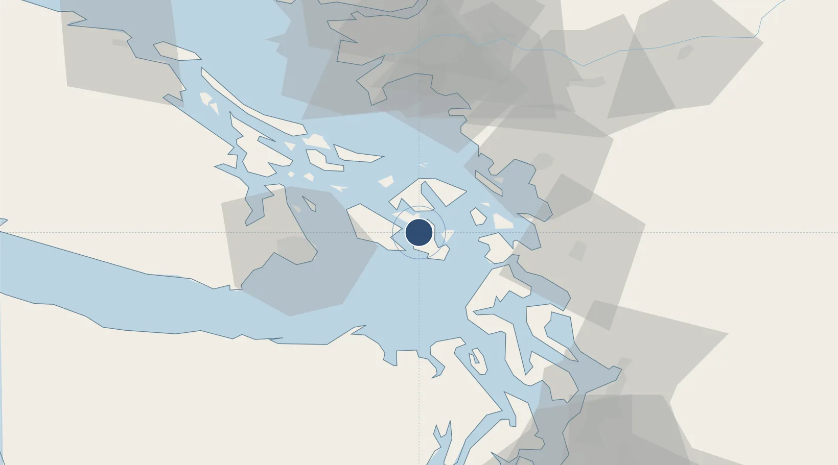
48.5165°, -122.9180°
4,000 ft
Longest runway
2
Runways

Runway & Layout

Fishermans Bay Seaplane Base runway & taxiway layout
Runway & taxiway layout — OpenStreetMap (ODbL) / OurAirports

Runways · 2

RunwayDimensions SurfaceTrue headingLit
05/23 4,000 × 200ft Water
14/32 2,500 × 200ft Water
OurAirports

Airport Specifications

Airport class
Seaplane base
OurAirports
Scheduled service
Yes
OurAirports
Runway surface
Water
OurAirports
Served city
Lopez
OurAirports

Location

Location of WA81
Natural Earth 10m (public domain) · Washington · WA81 · 48.52, -122.92GoogleOSMYandex

Nearby Logistics Neighbours

Airports
  1. 1Lopez Island Airport4 km
  2. 2Center Island Airport7 km
  3. 3Friday Harbor Seaplane Base7 km
  4. 4Decatur Shores Airport8 km
  5. 5Friday Harbor Airport8 km
Nearest neighbours — logibook spatial index (haversine) over the source coordinates
Cities
  1. 1Mengkofen23 km
  2. 2Victoria33 km
  3. 3Brentwood Bay40 km
  4. 4Bellingham42 km
  5. 5Mount Vernon46 km
Nearest neighbours — logibook spatial index (haversine) over the source coordinates
Ports
  1. 1Friday Harbor8 km
  2. 2Orcas9 km
  3. 3Roche Harbor21 km
  4. 4Anacortes22 km
  5. 5Victoria Harbor36 km
Nearest neighbours — logibook spatial index (haversine) over the source coordinates
Trade Zones
  1. 1FTZ No. 129 Bellingham39 km
  2. 2FTZ No. 128 Whatcom County43 km
  3. 3FTZ No. 085 Everett77 km
  4. 4FTZ Vancouver Island82 km
  5. 5FTZ No. 005 Seattle106 km
Nearest neighbours — logibook spatial index (haversine) over the source coordinates
DatabookThe Record of Consolidated Knowledge
United States beyond logistics?
Browse databook

All Sources

AirportsOurAirports
Public domain
Portsthe NGA World Port Index
Public domain (US gov)
LocationsUN/LOCODE
UN/LOCODE — free
Trade Zonesthe World Bank SEZ database
CC BY 4.0
Trade ZonesOpen Zone Map
CC BY
InfrastructureOpenStreetMap
ODbL 1.0
← United States airports