Small airport · Myanmar (Burma)
Banmaw AirportVYBM
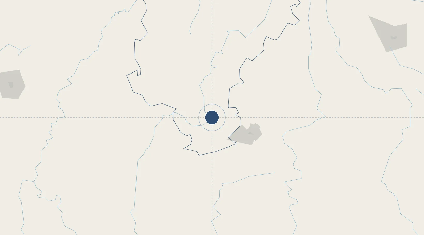
24.2704°, 97.2476°
5,502 ft
Longest runway
1
Runways
370 ft
Elevation
Runway & Layout

Radio Frequencies
TWR
118.7 MHz
Navaids
BM NDB Banmaw 320 kHz
Runways · 1
| Runway | Dimensions | Surface | True heading | Lit |
|---|---|---|---|---|
| 15/33 | 5,502 × 102ft | Bitumen | 148° | — |
Airport Specifications
IATA code
BMO
ICAO code
VYBM
Airport class
Small airport
Scheduled service
Yes
Runway surface
Bitumen
Served city
Banmaw
Location
Nearby Logistics Neighbours
Airports
- 1Nampong Air Base121 km
- 2Myitkyina Airport124 km
- 3Dehong Mangshi International Airport131 km
- 4Momeik Airport145 km
- 5Tengchong Tuofeng Airport146 km
Cities
- 1Myit Nge293 km
- 2Simao413 km
- 3Jinghong441 km
- 4Jiangcheng Mengkang496 km
- 5Jomotshangkha507 km
Ports
- 1Chittagong596 km
- 2Sittwe642 km
- 3Mongla806 km
- 4Rangoon842 km
- 5Bassein873 km
DatabookThe Record of Consolidated Knowledge
Myanmar (Burma) beyond logistics?