Export Processing Zone · China
Nanjian Industrial Park Active
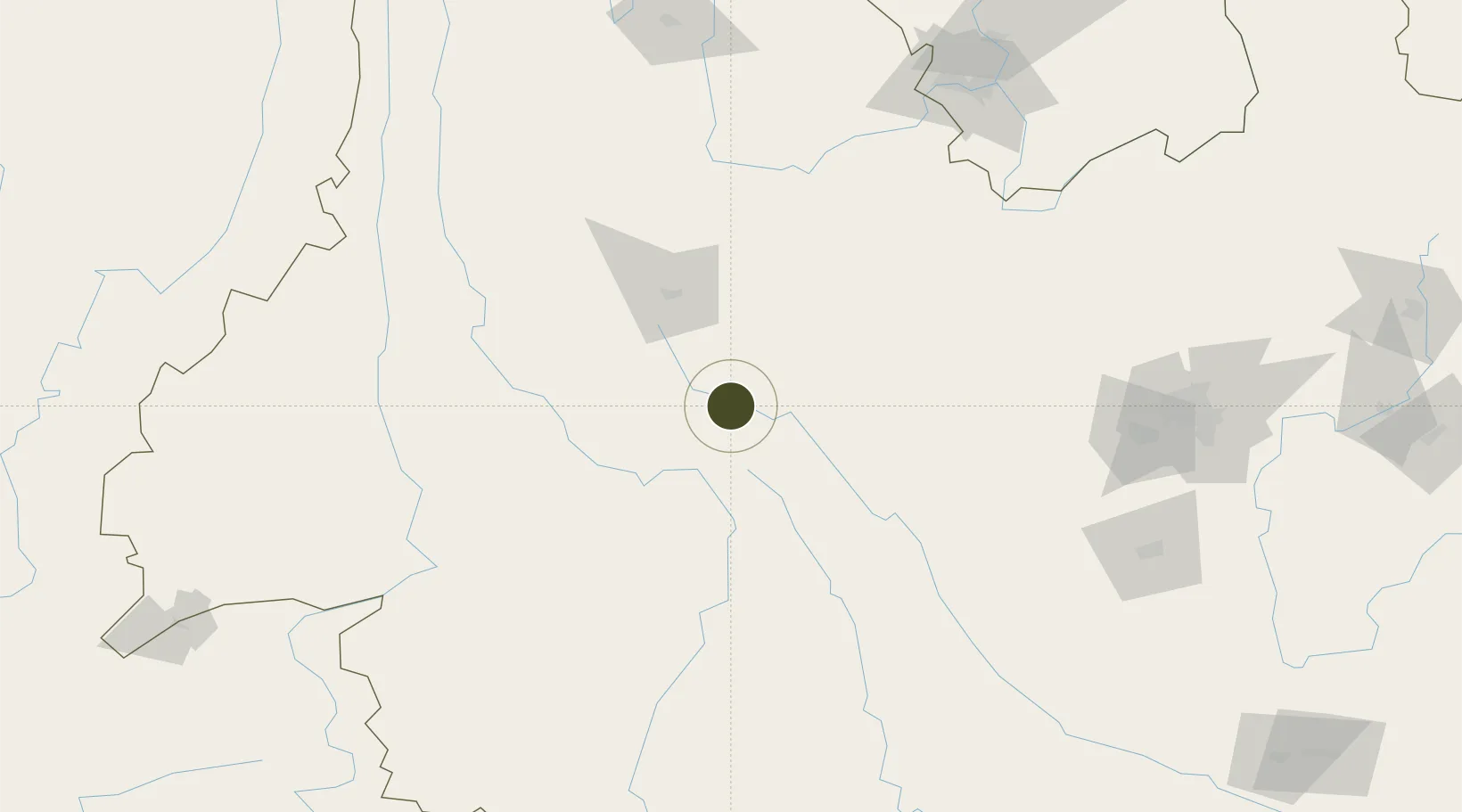
25.0532°, 100.5326°
211 ha
Zone area
779.5 km
Nearest port
48.1 km
Nearest airport
Gateway access
Zone profile
Zone type
Export Processing Zone
Region
Yunnan
Status
Active
Management
Public
Operator
Management Committee of Nanjian Industrial Park
Legal framework
Yunnan Provincial Committee of the Communist Party of China, Yunnan Provincial People's Government: Decision on Accelerating the Construction of a Modern Industrial System (July 27, 2020), Several Opinions of the General Office of the State Council on Pro
Location
Nearby Logistics Neighbours
Ports
- 1Hai Phong780 km
- 2Hon Gai809 km
- 3Cam Pha830 km
- 4Fang-Cheng878 km
- 5Nghe Tinh883 km
Airports
- 1Xiangyun Midu Air Base48 km
- 2Dali Fengyi Airport70 km
- 3Baoshan Yunrui Airport137 km
- 4Lincang Boshang Airport155 km
- 5Yuanmou Air Base155 km
Cities
- 1Anning197 km
- 2Panzhihuazhan206 km
- 3Yunnan Tengjun International Land Port Logistics Center210 km
- 4Yuxi215 km
- 5Simao254 km
DatabookThe Record of Consolidated Knowledge
China beyond logistics?