Transport Functions
Rail
Road
Multimodal
Hub Profile
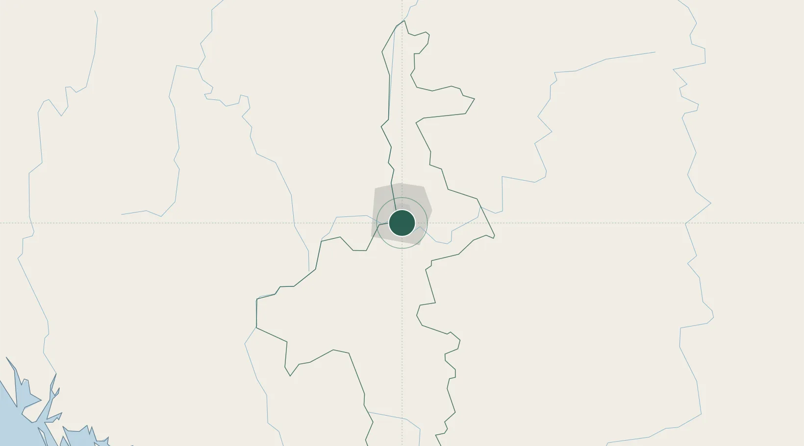
Place type
Populated place
Region
Mandalay Region
Time zone
Asia/Yangon
Elevation
79 m
Location
Nearby Logistics Neighbours
Cities
- 1Mese396 km
- 2Chattogram445 km
- 3Chiang Saen Customs House448 km
- 4Jinghong487 km
- 5Simao513 km
Ports
- 1Sittwe383 km
- 2Chittagong442 km
- 3Rangoon567 km
- 4Bassein583 km
- 5Mongla671 km
Airports
- 1Mandalay International Airport21 km
- 2Shante Air Base104 km
- 3Meiktila Air Base111 km
- 4Bagan Airport142 km
- 5Heho Airport145 km
Trade Zones
DatabookThe Record of Consolidated Knowledge
Myanmar (Burma) beyond logistics?