Medium airport · China

Tengchong Tuofeng AirportZUTC
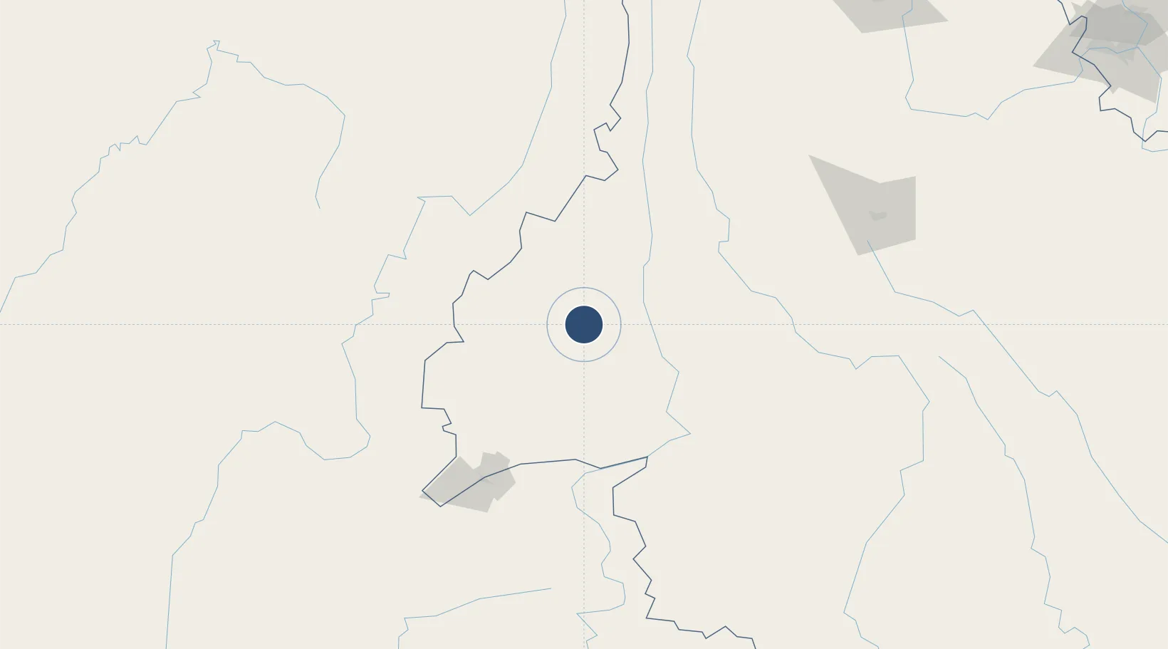
24.9381°, 98.4858°
7,710 ft
Longest runway
1
Runways
6,250 ft
Elevation

Runway & Layout

Tengchong Tuofeng Airport runway & taxiway layout
Runway & taxiway layout — OpenStreetMap (ODbL) / OurAirports

Runways · 1

RunwayDimensions SurfaceTrue headingLit
18/36 7,710 × —ft
OurAirports

Airport Specifications

IATA code
TCZ
OurAirports
ICAO code
ZPTC
OurAirports
Airport class
Medium airport
OurAirports
Scheduled service
Yes
OurAirports
Served city
Baoshan (Tengchong)
OurAirports

Location

Location of ZUTC
Natural Earth 10m (public domain) · Yunnan · ZUTC · 24.94, 98.49GoogleOSMYandex

Nearby Logistics Neighbours

Airports
  1. 1Dehong Mangshi International Airport60 km
  2. 2Baoshan Yunrui Airport70 km
  3. 3Myitkyina Airport124 km
  4. 4Nampong Air Base129 km
  5. 5Banmaw Airport146 km
Nearest neighbours — logibook spatial index (haversine) over the source coordinates
Cities
  1. 1Simao347 km
  2. 2Panzhihuazhan371 km
  3. 3Jinghong402 km
  4. 4Anning403 km
  5. 5Yuxi413 km
Nearest neighbours — logibook spatial index (haversine) over the source coordinates
Ports
  1. 1Chittagong739 km
  2. 2Sittwe784 km
  3. 3Rangoon940 km
  4. 4Mongla945 km
  5. 5Hai Phong951 km
Nearest neighbours — logibook spatial index (haversine) over the source coordinates
Trade Zones
  1. 1Tengchong Economic Development Zone9 km
  2. 2Yunlong Industrial Park110 km
  3. 3Yongping County Bonan Industrial (Logistics) Park: Dali Prefecture122 km
  4. 4Yangbi Walnut Industrial Park: Dali Prefecture149 km
  5. 5Lincang Industrial Park200 km
Nearest neighbours — logibook spatial index (haversine) over the source coordinates
DatabookThe Record of Consolidated Knowledge
China beyond logistics?
Browse databook

All Sources

AirportsOurAirports
Public domain
Portsthe NGA World Port Index
Public domain (US gov)
LocationsUN/LOCODE
UN/LOCODE — free
Trade Zonesthe World Bank SEZ database
CC BY 4.0
Trade ZonesOpen Zone Map
CC BY
InfrastructureOpenStreetMap
ODbL 1.0
← China airports