Transport Functions
Port
Hub Profile
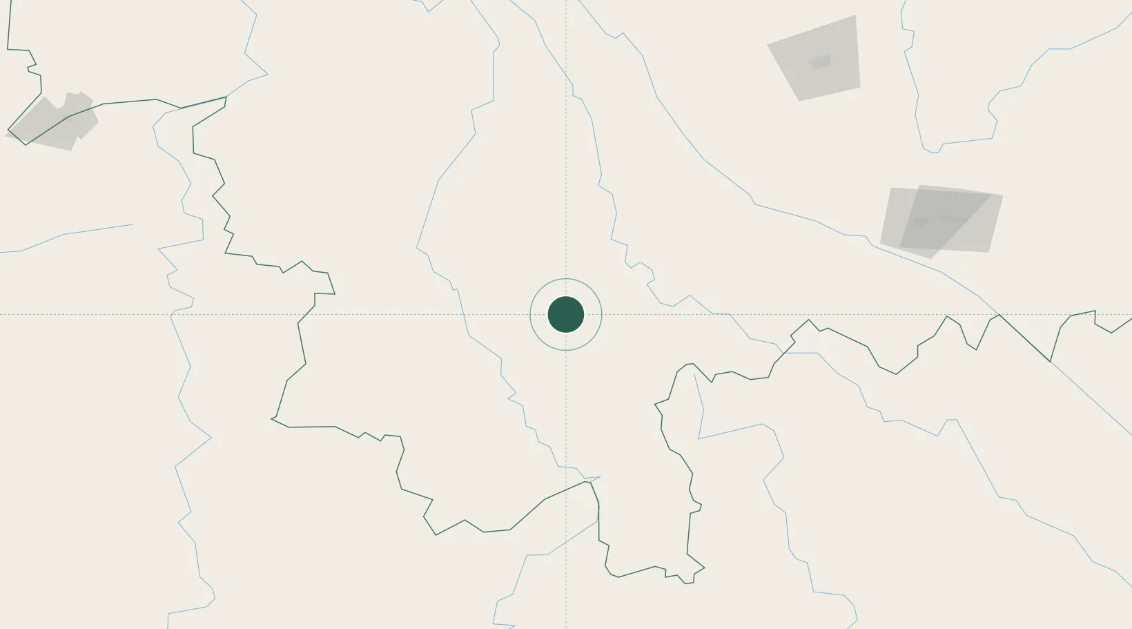
Place type
District seat
Region
Yunnan
Population
296,565
Time zone
Asia/Shanghai
Elevation
1,331 m
Location
Nearby Logistics Neighbours
Cities
- 1Jiangcheng Mengkang83 km
- 2Jinghong89 km
- 3Boten195 km
- 4Nateuy206 km
- 5Yuxi234 km
Ports
- 1Hai Phong626 km
- 2Hon Gai662 km
- 3Nghe Tinh671 km
- 4Cam Pha689 km
- 5Fang-Cheng769 km
Airports
- 1Pu'er Simao Airport1 km
- 2Xishuangbanna Gasa International Airport94 km
- 3Lancang Jingmai Airport129 km
- 4Lincang Boshang Airport142 km
- 5Cangyuan Washan Airport171 km
Trade Zones
DatabookThe Record of Consolidated Knowledge
China beyond logistics?