Seaport · Myanmar (Burma)
RangoonMMRGN
16.7667°, 96.1667°
7.3 m
Channel depth
5
Container terminals
94.4
Port liner connectivity
Channel & Berth Profile
Pilotage, Tugs & Services
Pilotage compulsoryYES
Pilotage availableYES
Pilotage advisableYES
Local assistanceYES
Tug assistanceYES
Salvage tugsYES
Potable waterYES
MedicalYES
Garbage disposalYES
Facilities & Capabilities
Container—
Ro-Ro—
Liquid bulk—
Dry bulk—
Oil terminal—
Break bulk—
Dry dockNO
RepairsNO
Bunkering—
Rail linkYES
Dangerous cargo—
ISPS security—
Harbour Specifications
Harbour size
Small
Harbour type
River (Natural)
Shelter
Good
Water body
Andaman Sea; Indian Ocean
Tidal range
5.9 m
Pilotage
Yes
Liner Connectivity
94.4
PLSCI
Port Liner Shipping Connectivity Index for Rangoon, as published by UNCTAD for the latest available quarter. Higher values indicate stronger scheduled liner-shipping integration.
Shown relative to the highest per-port PLSCI in the dataset (1,657.9).
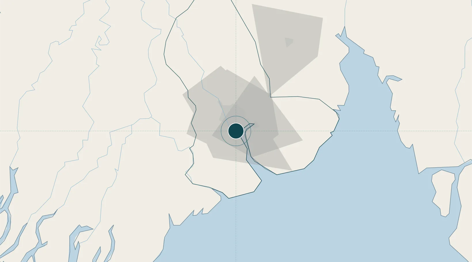
Location
Container Terminals · 5
AHLONE INTERNATIONAL PORT TERMINAL 1
AIPT1 MYANMAR PORT AUTHORITY
ASIA WORLD PORT TERMINAL
AWPT ASIA WORLD PORT MANAGEMENT CO. LTD.
BO AUNG KYAW TERMINAL
BAKT LANN PYI MARINE CO. LTD
MYANMAR INDUSTRIAL PORT (MIP)
MIP MYANMAR INDUSTRIAL PORT (MIP) CONTAINER TERMINAL
MYANMAR INTERNATIONAL TERMINALS THILAWA (HUTCHISON MITT)
MITT MYANMAR INTERNATIONAL TERMINALS THILAWA LTD. (HUTCHISON MITT)
Nearby Logistics Neighbours
Ports
- 1Bassein153 km
- 2Sittwe509 km
- 3Mergui548 km
- 4Bangkok573 km
- 5Ko Si Chang Terminal640 km
Cities
- 1Pazundaung2 km
- 2Thilawa16 km
- 3Kyaiklat47 km
- 4Mese261 km
- 5Kamphaeng Phet359 km
Airports
- 1Yangon International Airport16 km
- 2Pathein Airport148 km
- 3Mawlamyine Airport163 km
- 4Mae Sot Airport253 km
- 5Thandwe Airport273 km
Trade Zones
DatabookThe Record of Consolidated Knowledge
Myanmar (Burma) beyond logistics?