Transport Functions
Port
Hub Profile
Place type
District seat
Region
Yunnan
Population
205,523
Time zone
Asia/Shanghai
Elevation
547 m
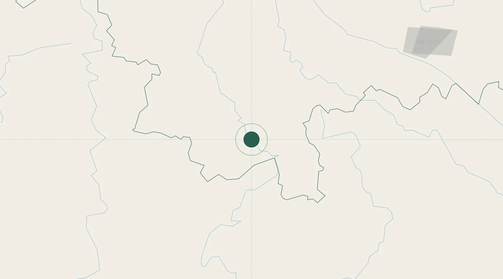
Location
Nearby Logistics Neighbours
Cities
- 1Simao89 km
- 2Jiangcheng Mengkang106 km
- 3Boten130 km
- 4Nateuy138 km
- 5Oudomxay194 km
Airports
- 1Xishuangbanna Gasa International Airport6 km
- 2Pu'er Simao Airport88 km
- 3Lancang Jingmai Airport114 km
- 4Luang Namtha Airport132 km
- 5Kengtung Airport144 km
DatabookThe Record of Consolidated Knowledge
China beyond logistics?