Transport Functions
Multimodal
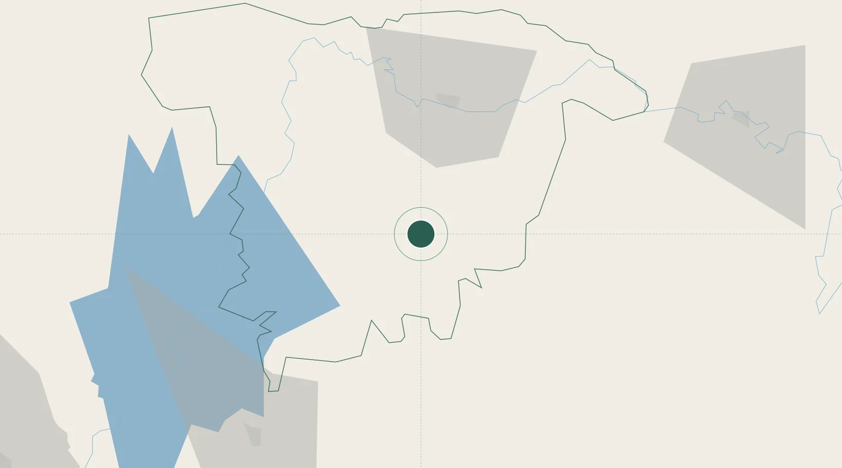
Hub Profile
Region
60
Location
Nearby Logistics Neighbours
Cities
- 1Ashuganj92 km
- 2Narsingdi125 km
- 3Tejgaon161 km
- 4Pangaon163 km
- 5Munshiganj164 km
Ports
- 1Chittagong241 km
- 2Mongla316 km
- 3Calcutta412 km
- 4Haldia Port467 km
- 5Sittwe497 km
Airports
- 1Kailashahar Airport30 km
- 2Osmany International Airport54 km
- 3Agartala - Maharaja Bir Bikram Airport86 km
- 4Lengpui Airport111 km
- 5Silchar Airport130 km
Trade Zones
DatabookThe Record of Consolidated Knowledge
Bangladesh beyond logistics?