Medium airport · India
Jorhat AirportVEJT
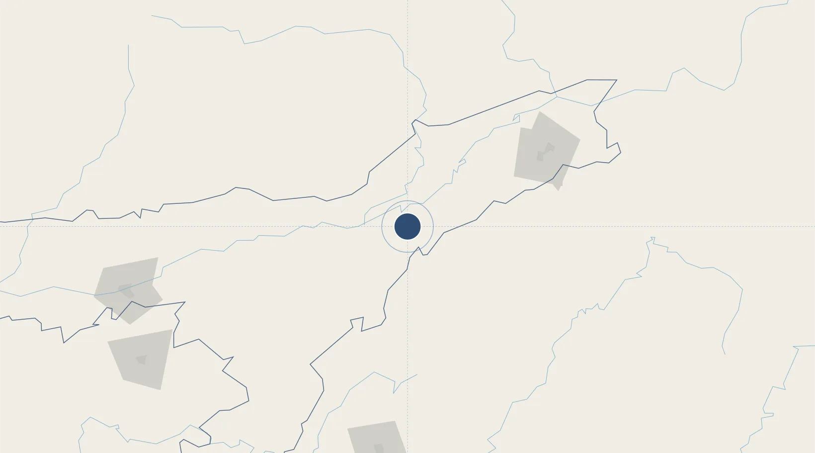
26.7305°, 94.1754°
9,000 ft
Longest runway
1
Runways
311 ft
Elevation
Runway & Layout

Radio Frequencies
TWR
123.5 MHz
APP
119.7 MHz
Navaids
JHT VOR-DME Jorhat 112.10 MHz
JT NDB Jorhat 217 kHz
Runways · 1
| Runway | Dimensions | Surface | True heading | Lit |
|---|---|---|---|---|
| 04/22 | 9,000 × 150ft | Concrete | 044° | ✓ |
Airport Specifications
IATA code
JRH
ICAO code
VEJT
Airport class
Medium airport
Scheduled service
Yes
Runway surface
Concrete
Served city
Jorhat
Location
Nearby Logistics Neighbours
Airports
- 1Itanagar Donyi Polo Hollongi Airport59 km
- 2Lilabari North Lakhimpur Airport63 km
- 3Ziro Airport101 km
- 4Dimapur Airport102 km
- 5Dibrugarh Airport118 km
Cities
- 1Jomotshangkha108 km
- 2Amingaon (Gauhati)256 km
- 3Phuntsho Raptenling262 km
- 4Samdrup Jongkhar266 km
- 5Pelzomthang (Nganglam)291 km
Ports
- 1Chittagong546 km
- 2Mongla662 km
- 3Sittwe745 km
- 4Calcutta751 km
- 5Haldia Port809 km
Trade Zones
- 1Motanga Industrial Park266 km
- 2Bondeyma Industrial Park298 km
- 3Sylhet Special Economic Zone308 km
- 4Shreehatta Srihatta Economic Zone344 km
- 5Habiganj Economic Zone381 km
DatabookThe Record of Consolidated Knowledge
India beyond logistics?