Medium airport · India
Dimapur AirportVEMR
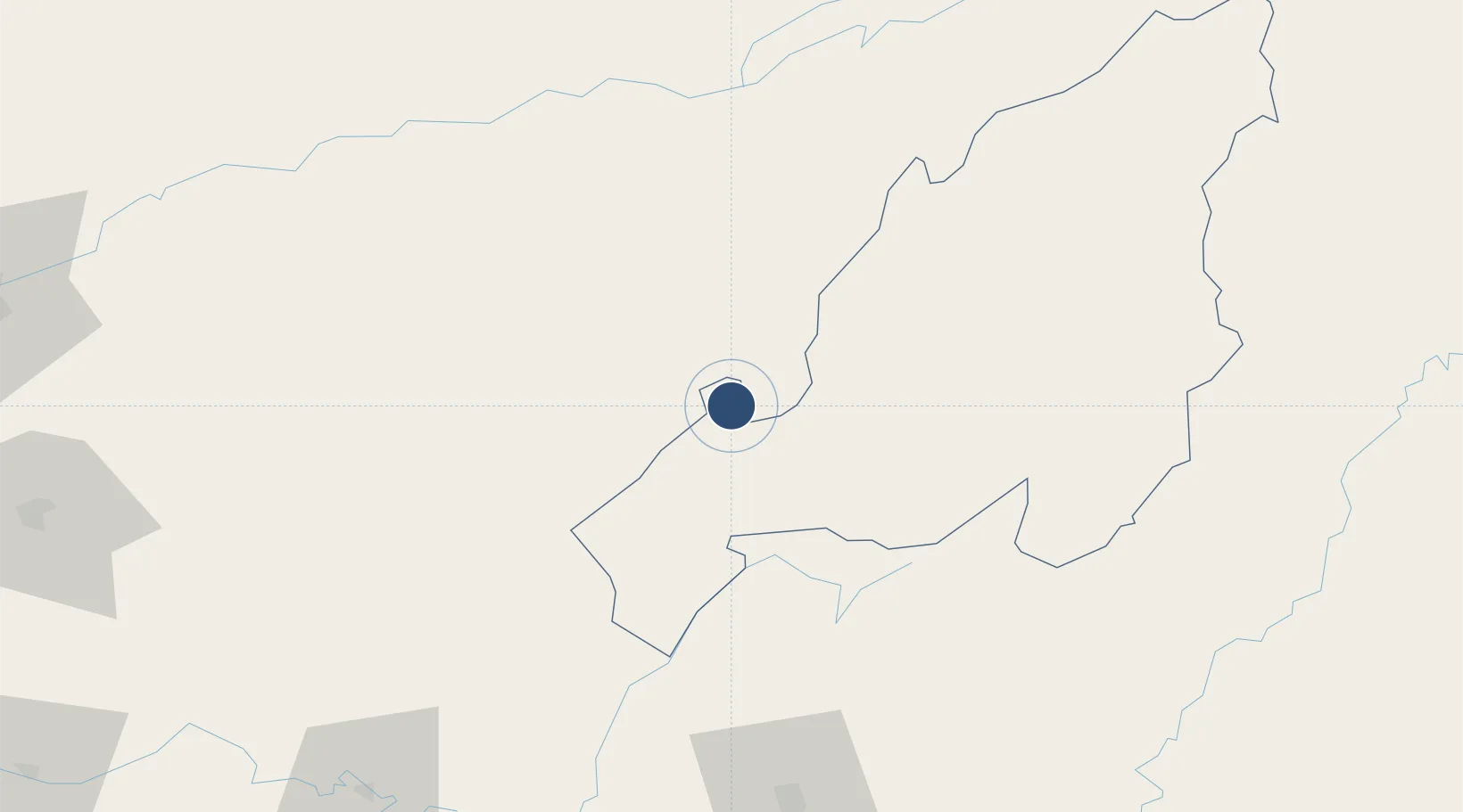
25.8839°, 93.7711°
7,513 ft
Longest runway
1
Runways
487 ft
Elevation
Runway & Layout

Radio Frequencies
TWR
123.5 MHz
Navaids
DMR VOR-DME Dimapur 114.50 MHz
MR NDB Dimapur 422 kHz
Runways · 1
| Runway | Dimensions | Surface | True heading | Lit |
|---|---|---|---|---|
| 12/30 | 7,513 × 148ft | Asphalt | 118° | ✓ |
Airport Specifications
IATA code
DMU
ICAO code
VEMR
Airport class
Medium airport
Scheduled service
Yes
Runway surface
Asphalt
Served city
Dimapur
Location
Nearby Logistics Neighbours
Airports
- 1Jorhat Airport102 km
- 2Itanagar Donyi Polo Hollongi Airport121 km
- 3Bir Tikendrajit International Airport126 km
- 4Silchar Airport134 km
- 5Tezpur Airport135 km
Cities
- 1Jomotshangkha130 km
- 2Amingaon (Gauhati)211 km
- 3Phuntsho Raptenling244 km
- 4Samdrup Jongkhar247 km
- 5Moulvi Bazar254 km
Ports
- 1Chittagong444 km
- 2Mongla569 km
- 3Sittwe646 km
- 4Calcutta664 km
- 5Haldia Port720 km
Trade Zones
- 1Sylhet Special Economic Zone220 km
- 2Motanga Industrial Park249 km
- 3Shreehatta Srihatta Economic Zone254 km
- 4Habiganj Economic Zone291 km
- 5Bondeyma Industrial Park296 km
DatabookThe Record of Consolidated Knowledge
India beyond logistics?