Medium airport · Vietnam
Con Dao AirportVVCS
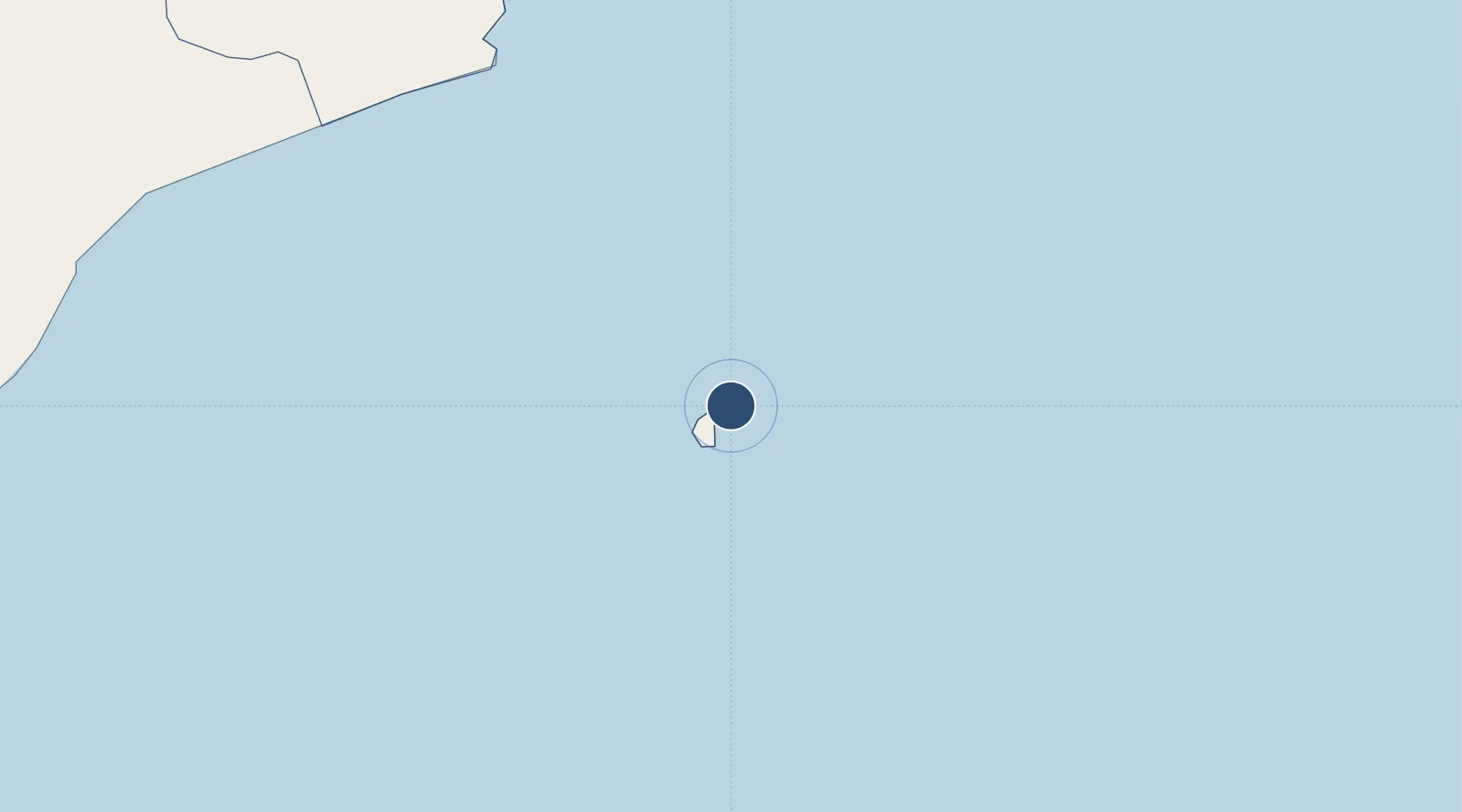
8.7318°, 106.6330°
6,004 ft
Longest runway
1
Runways
20 ft
Elevation
Runway & Layout

Navaids
CS NDB Conson 333 kHz
Runways · 1
| Runway | Dimensions | Surface | True heading | Lit |
|---|---|---|---|---|
| 11/29 | 6,004 × 98ft | Asphalt | 111° | — |
Airport Specifications
IATA code
VCS
ICAO code
VVCS
Airport class
Medium airport
Scheduled service
Yes
Runway surface
Asphalt
Served city
Con Dao
Location
Nearby Logistics Neighbours
Airports
Cities
- 1Ben Dam Con Dao Terminals13 km
- 2Cai Cui Port140 km
- 3Can Tho165 km
- 4Ben Tre169 km
- 5Vinalines Hau Giang Port171 km
Ports
- 1Vung Tau183 km
- 2Phu My211 km
- 3Cat Lai225 km
- 4Thanh Ho Chi Minh226 km
- 5Thanh Hoa232 km
Trade Zones
- 1Nam Can Coastal Economic Zone171 km
- 2Nam Can Industrial Zone176 km
- 3Hòa Phú Industrial Zone178 km
- 4Định An Coastal Economic Zone183 km
- 5Tra Noc 1 Industrial Zone183 km
DatabookThe Record of Consolidated Knowledge
Vietnam beyond logistics?