Medium airport · Vietnam

Rach Gia AirportVVRG
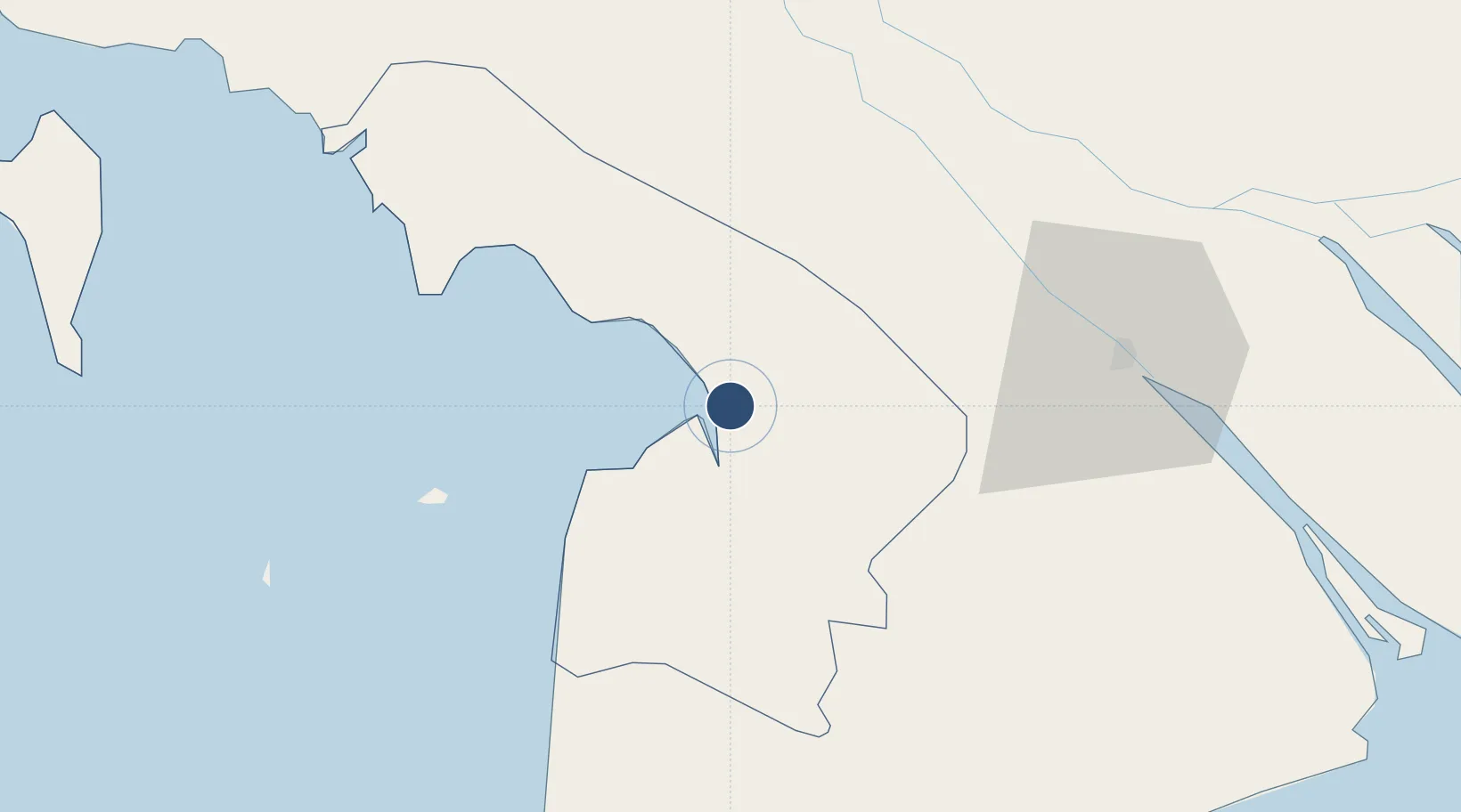
9.9580°, 105.1324°
4,921 ft
Longest runway
1
Runways
7 ft
Elevation

Runway & Layout

Rach Gia Airport runway & taxiway layout
Runway & taxiway layout — OpenStreetMap (ODbL) / OurAirports

Runways · 1

RunwayDimensions SurfaceTrue headingLit
08/26 4,921 × 98ft Asphalt
OurAirports

Airport Specifications

IATA code
VKG
OurAirports
ICAO code
VVRG
OurAirports
Airport class
Medium airport
OurAirports
Scheduled service
Yes
OurAirports
Runway surface
Asphalt
OurAirports
Served city
Rach Gia
OurAirports

Location

Location of VVRG
Natural Earth 10m (public domain) · Kiên Giang · VVRG · 9.96, 105.13GoogleOSMYandex

Nearby Logistics Neighbours

Airports
  1. 1Can Tho International Airport65 km
  2. 2Cà Mau Airport87 km
  3. 3Phú Quốc International Airport127 km
  4. 4Techo International Airport158 km
  5. 5Sihanouk International Airport178 km
Nearest neighbours — logibook spatial index (haversine) over the source coordinates
Cities
  1. 1Tra Noc64 km
  2. 2Binh Long Port69 km
  3. 3Dong Thap75 km
  4. 4Can Tho76 km
  5. 5Sa Déc79 km
Nearest neighbours — logibook spatial index (haversine) over the source coordinates
Ports
  1. 1Duong Dong131 km
  2. 2Kampong Saom194 km
  3. 3Thanh Ho Chi Minh195 km
  4. 4Cat Lai201 km
  5. 5Thanh Hoa203 km
Nearest neighbours — logibook spatial index (haversine) over the source coordinates
Trade Zones
  1. 1Tra Noc 2 Industrial Zone64 km
  2. 2Tra Noc 1 Industrial Zone65 km
  3. 3Doung Chhiv Phnom Den Special Economic Zone76 km
  4. 4Sa Dec Industrial Zone78 km
  5. 5An Phú Industrial Zone85 km
Nearest neighbours — logibook spatial index (haversine) over the source coordinates
DatabookThe Record of Consolidated Knowledge
Vietnam beyond logistics?
Browse databook

All Sources

AirportsOurAirports
Public domain
Portsthe NGA World Port Index
Public domain (US gov)
LocationsUN/LOCODE
UN/LOCODE — free
Trade Zonesthe World Bank SEZ database
CC BY 4.0
Trade ZonesOpen Zone Map
CC BY
InfrastructureOpenStreetMap
ODbL 1.0
← Vietnam airports