Medium airport · Vietnam
Cà Mau AirportVVCM
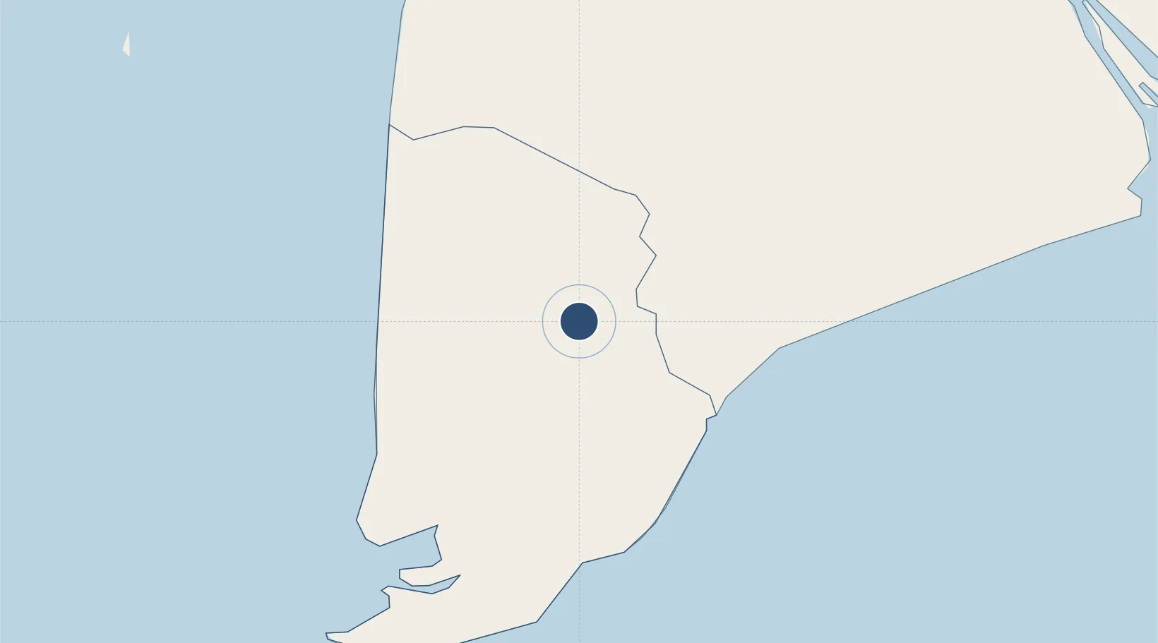
9.1777°, 105.1778°
4,921 ft
Longest runway
1
Runways
6 ft
Elevation
Runway & Layout

Runways · 1
| Runway | Dimensions | Surface | True heading | Lit |
|---|---|---|---|---|
| 09/27 | 4,921 × 98ft | Asphalt | — | — |
Airport Specifications
IATA code
CAH
ICAO code
VVCM
Airport class
Medium airport
Scheduled service
Yes
Runway surface
Asphalt
Served city
Ca Mau City
Location
Nearby Logistics Neighbours
Airports
- 1Rach Gia Airport87 km
- 2Can Tho International Airport116 km
- 3Con Dao Airport167 km
- 4Phú Quốc International Airport170 km
- 5Sihanouk International Airport230 km
Cities
- 1Vinalines Hau Giang Port6 km
- 2Nam Can Port44 km
- 3Can Tho115 km
- 4Tra Noc118 km
- 5Sa Déc141 km
Ports
- 1Duong Dong176 km
- 2Vung Tau243 km
- 3Thanh Ho Chi Minh244 km
- 4Kampong Saom245 km
- 5Cat Lai248 km
Trade Zones
- 1Nam Can Coastal Economic Zone3 km
- 2Nam Can Industrial Zone44 km
- 3Tra Noc 1 Industrial Zone119 km
- 4Tra Noc 2 Industrial Zone119 km
- 5An Phú Industrial Zone138 km
DatabookThe Record of Consolidated Knowledge
Vietnam beyond logistics?