Seaport · Vietnam
Thanh Ho Chi MinhVNSGN
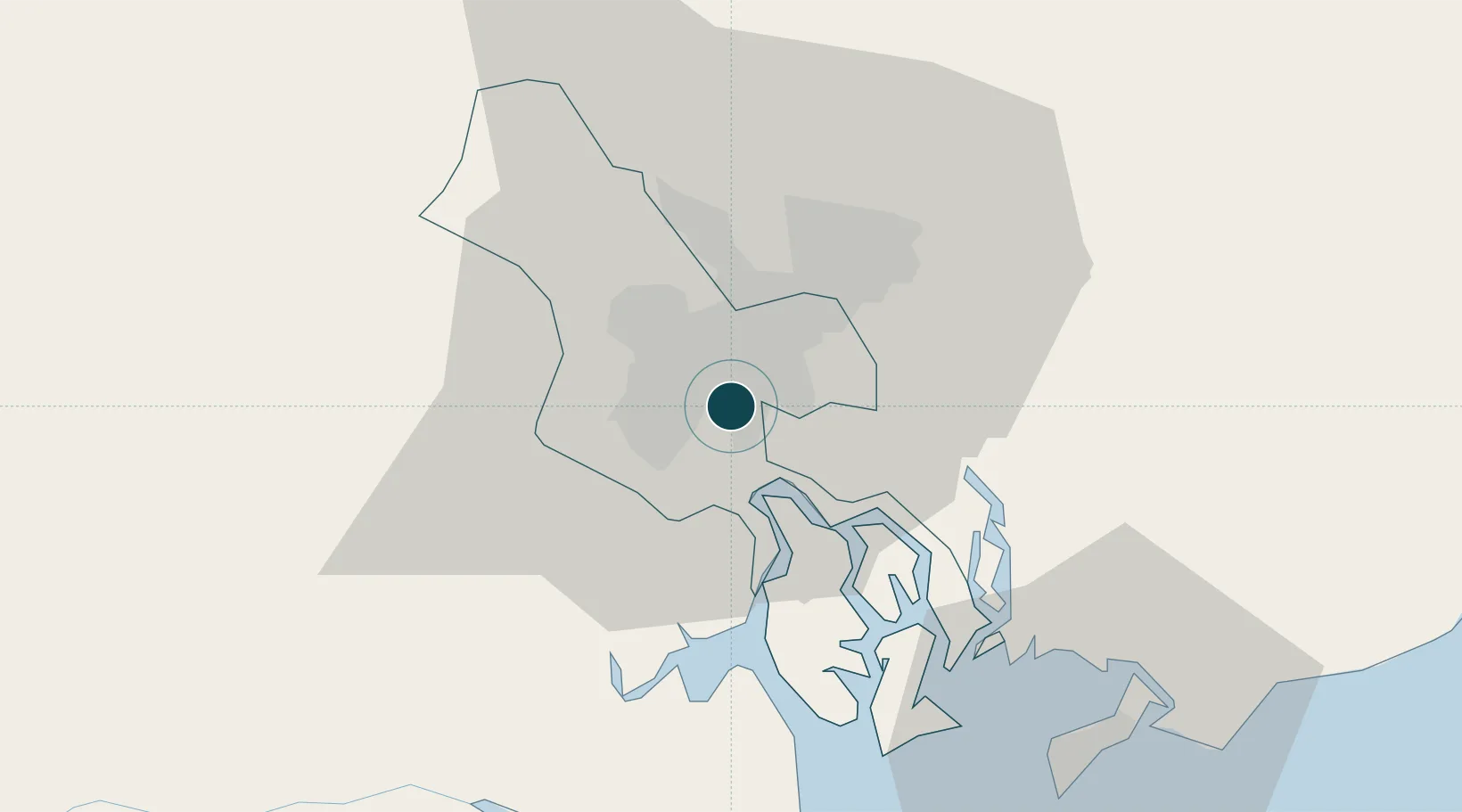
10.7667°, 106.7167°
9.4 m
Channel depth
6
Container terminals
615.0
Port liner connectivity
Channel & Berth Profile
Pilotage, Tugs & Services
Pilotage compulsoryYES
Pilotage availableYES
Tug assistanceYES
Shore powerYES
Potable waterYES
Diesel bunkersYES
MedicalYES
Garbage disposalYES
Facilities & Capabilities
Container—
Ro-Ro—
Liquid bulk—
Dry bulk—
Oil terminal—
Break bulk—
Dry dockNO
RepairsNO
BunkeringYES
Rail linkYES
Dangerous cargo—
ISPS security—
Harbour Specifications
Harbour size
Medium
Harbour type
River (Natural)
Shelter
Excellent
Water body
South China Sea; North Pacific Ocean
Tidal range
4 m
Overhead limit
Yes
Pilotage
Yes
Liner Connectivity
615
PLSCI
Port Liner Shipping Connectivity Index for Thanh Ho Chi Minh, as published by UNCTAD for the latest available quarter. Higher values indicate stronger scheduled liner-shipping integration.
Shown relative to the highest per-port PLSCI in the dataset (1,657.9).
Location
Container Terminals · 6
TAN CANG - CAT LAI TERMINAL
CATLAI TAN CANG GROUP COMPANY
SAIGON PREMIER CONTAINER TERMINAL (SPCT)
SPCT SAIGON PREMIER CONTAINER TERMINAL
SP-ITC INTERNATIONAL CONTAINER TERMINAL
SPITC INTERNATIONAL TRANSPORT AND TRADE JOINT STOCK COMPANY (ITC)
TAN CANG - HIEP PHUOC TERMINAL (TCHP)
TCHP TAN CANG GROUP COMPANY
TAN CANG - PHU HUU TERMINAL (TCPH)
TCPH TAN CANG GROUP COMPANY
VIETNAM INTERNATIONAL CONTAINER TERMINALS (VICT)
VICT
Nearby Logistics Neighbours
Ports
- 1Cat Lai8 km
- 2Thanh Hoa8 km
- 3Phu My40 km
- 4Vung Tau63 km
- 5Vinh Cam Ranh295 km
Cities
- 1Song Than ICD0 km
- 2Bèn Nghè3 km
- 3Tân Thuan Dông4 km
- 4Lotus Port4 km
- 5Phú Nhuan6 km
Airports
Trade Zones
DatabookThe Record of Consolidated Knowledge
Vietnam beyond logistics?