Large airport · Vietnam

Tan Son Nhat International AirportVVTS
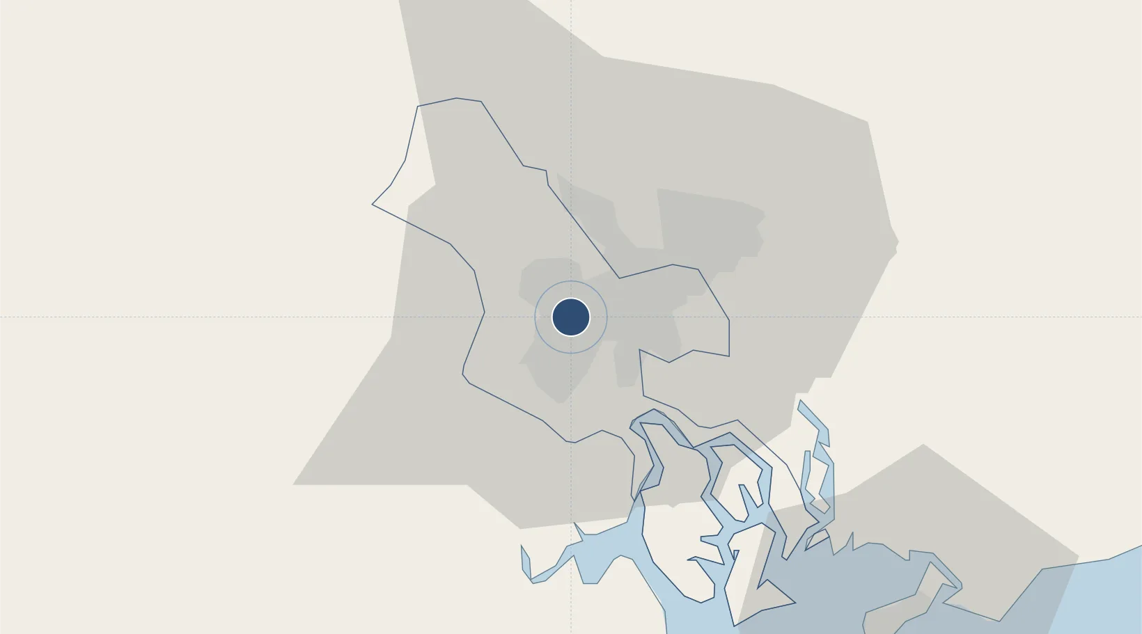
10.8188°, 106.6520°
12,468 ft
Longest runway
2
Runways
33 ft
Elevation

Runway & Layout

Tan Son Nhat International Airport runway & taxiway layout
Runway & taxiway layout — OpenStreetMap (ODbL) / OurAirports

Radio Frequencies

ATIS
128 MHz
TWR
118.7 MHz
GND
121.9 MHz
APP
125.5 MHz
OurAirports

Navaids

GN NDB Tansonnhat 343 kHz
GV NDB Tansonnhat 375 kHz
SG NDB Tansonnhat 326 kHz
TD NDB Tansonnhat 358 kHz
TSN VOR-DME Tansonnhat 116.70 MHz
OurAirports

Runways · 2

RunwayDimensions SurfaceTrue headingLit
07R/25L 12,468 × 148ft Concrete 069°
07L/25R 10,007 × 148ft Concrete 069°
OurAirports

Airport Specifications

IATA code
SGN
OurAirports
ICAO code
VVTS
OurAirports
Airport class
Large airport
OurAirports
Scheduled service
Yes
OurAirports
Runway surface
Concrete
OurAirports
Served city
Ho Chi Minh City
OurAirports

Location

Location of VVTS
Natural Earth 10m (public domain) · Hồ Chí Minh city · VVTS · 10.82, 106.65GoogleOSMYandex

Nearby Logistics Neighbours

Airports
  1. 1Long Thanh International Airport (Under Construction)43 km
  2. 2Can Tho International Airport132 km
  3. 3Rach Gia Airport192 km
  4. 4Techo International Airport198 km
  5. 5Phnom Penh International Airport213 km
Nearest neighbours — logibook spatial index (haversine) over the source coordinates
Cities
  1. 1Tan Binh2 km
  2. 2Phú Nhuan4 km
  3. 3Song Than ICD9 km
  4. 4ICD Sotrans11 km
  5. 5Sai Gon Port11 km
Nearest neighbours — logibook spatial index (haversine) over the source coordinates
Ports
  1. 1Thanh Ho Chi Minh9 km
  2. 2Thanh Hoa13 km
  3. 3Cat Lai16 km
  4. 4Phu My49 km
  5. 5Vung Tau72 km
Nearest neighbours — logibook spatial index (haversine) over the source coordinates
Trade Zones
  1. 1Phu Gia Industrial Park3 km
  2. 2Tan Binh Industrial Park3 km
  3. 3Tan Tao Industrial Park11 km
  4. 4Tan Thuan Export Processing Zone12 km
  5. 5Song Than 1 Industrial Zone13 km
Nearest neighbours — logibook spatial index (haversine) over the source coordinates
DatabookThe Record of Consolidated Knowledge
Vietnam beyond logistics?
Browse databook

All Sources

AirportsOurAirports
Public domain
Portsthe NGA World Port Index
Public domain (US gov)
LocationsUN/LOCODE
UN/LOCODE — free
Trade Zonesthe World Bank SEZ database
CC BY 4.0
Trade ZonesOpen Zone Map
CC BY
InfrastructureOpenStreetMap
ODbL 1.0
← Vietnam airports